Besiberri Sud
Description
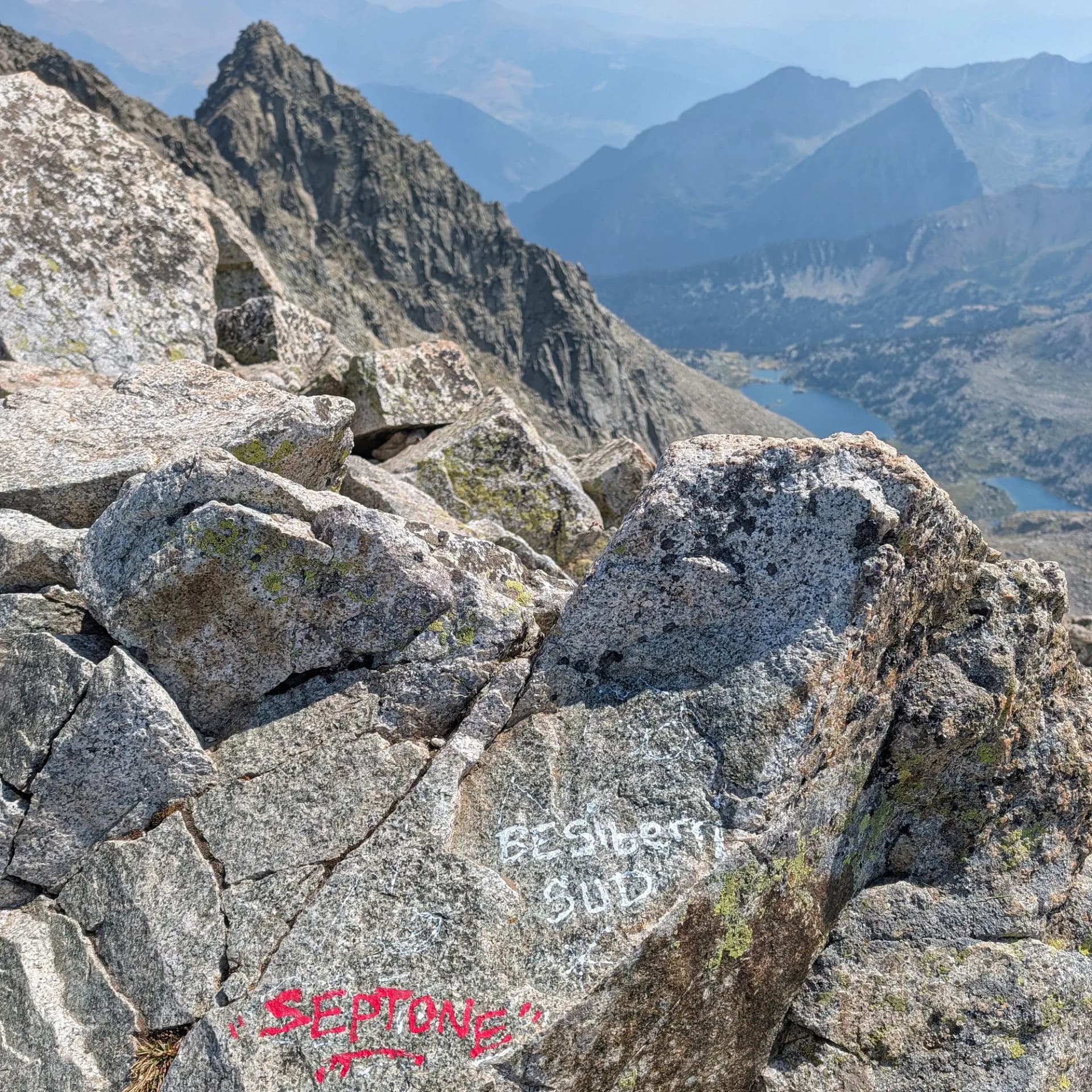
Besiberri Sud is an emblematic Pyrenean peak, reaching an altitude of 3,023 meters, and is considered one of the great classics of Catalan high-mountain climbing. It is located in the Alta Ribagorça region, on the border between the municipalities of La Vall de Boí and Vilaller, bordering the Val d'Aran, and marking the western limit of the Aigüestortes i Estany de Sant Maurici National Park.
The surroundings consist of an abrupt and glacially-formed high-mountain landscape of great beauty. Lower down, lush beech and fir forests give way to a rocky high-mountain world, characterized by an impressive succession of glacial lakes such as the Gémena, Gelats, or Malavesina lakes. Geologically, the massif is fundamentally granitic, forming a narrow and elongated ridge. The final ascent to the summit involves steep scree slopes and chaotic terrain composed of large, unstable granite blocks.
From the summit, which serves as a true watchtower, hikers are rewarded with exceptional panoramic views. To the north, one can admire the rugged Besiberri ridge and Montardo; to the west, the imposing Maladeta massif with its glacier and the Aneto peak; and to the south, the massive wall of the neighboring Comaloforno peak. Other distinct Pyrenean landmarks like Pica d'Estats or Turbón are visible, along with a bird's-eye view of the surrounding lakes. Besiberri Sud is part of a ridge featuring other significant three-thousander peaks, including Comaloforno (3,029 m) —the highest peak of the massif and the National Park—, Besiberri Nord (3,008 m), and Agulla Sud de Malavesina (3,012.9 m), the latter recently homologated as the thirteenth official three-thousander of Catalonia.
Map
Gallery
Related summits
Browse the summits close to this summit (max 10 km).
Related trails
Browse the trails where I reached this summit.