Castell de Sant Miquel
Description
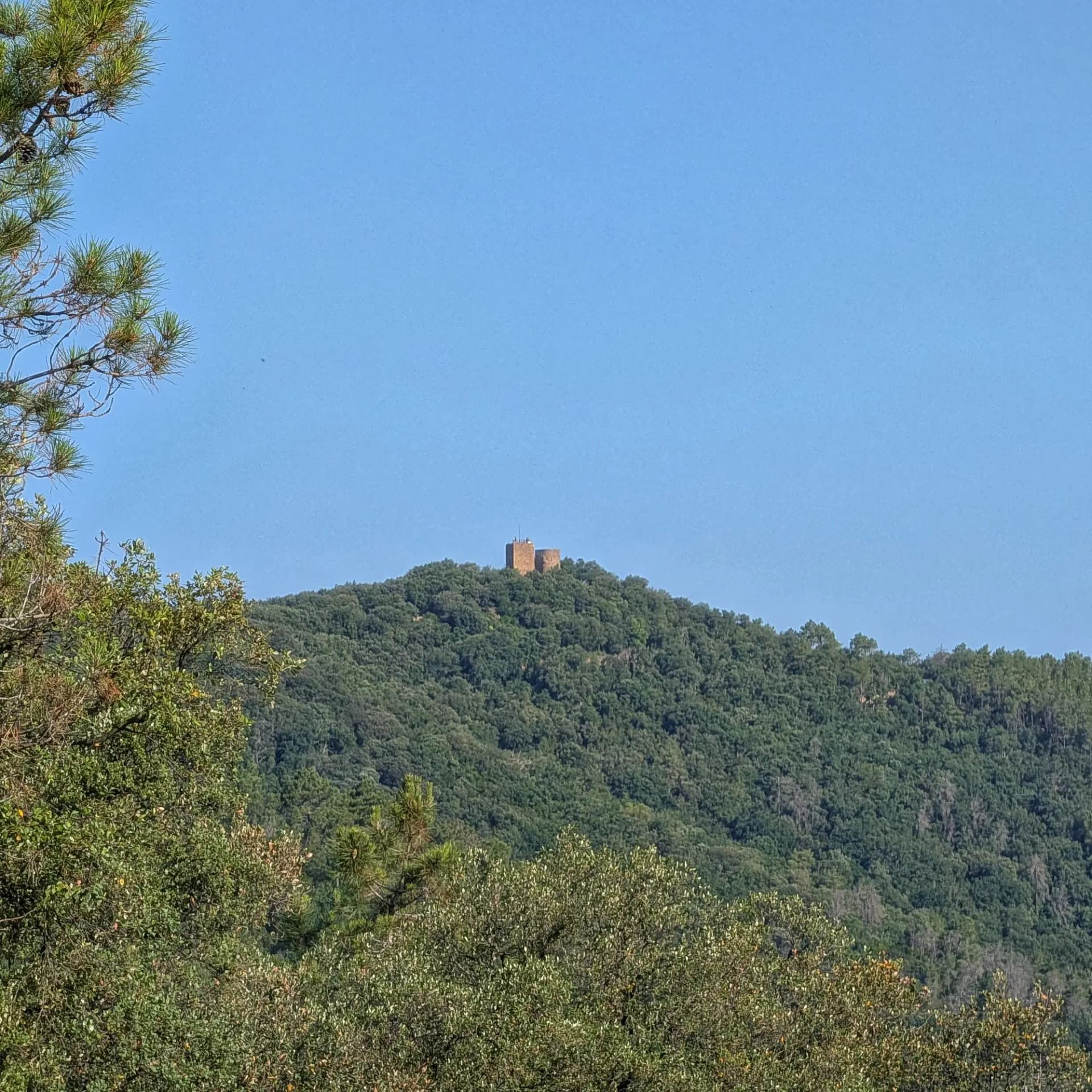
The Castell de Sant Miquel, also known as the Sant Miquel mountain or "puig" (and historically Puig Castellar), stands at an altitude of 385 meters above sea level. This strategic peak lies on the border between the municipalities of Girona and Celrà, in the Gironès region, and forms part of the first foothills and the Natural Interest Area of the Gavarres massif.
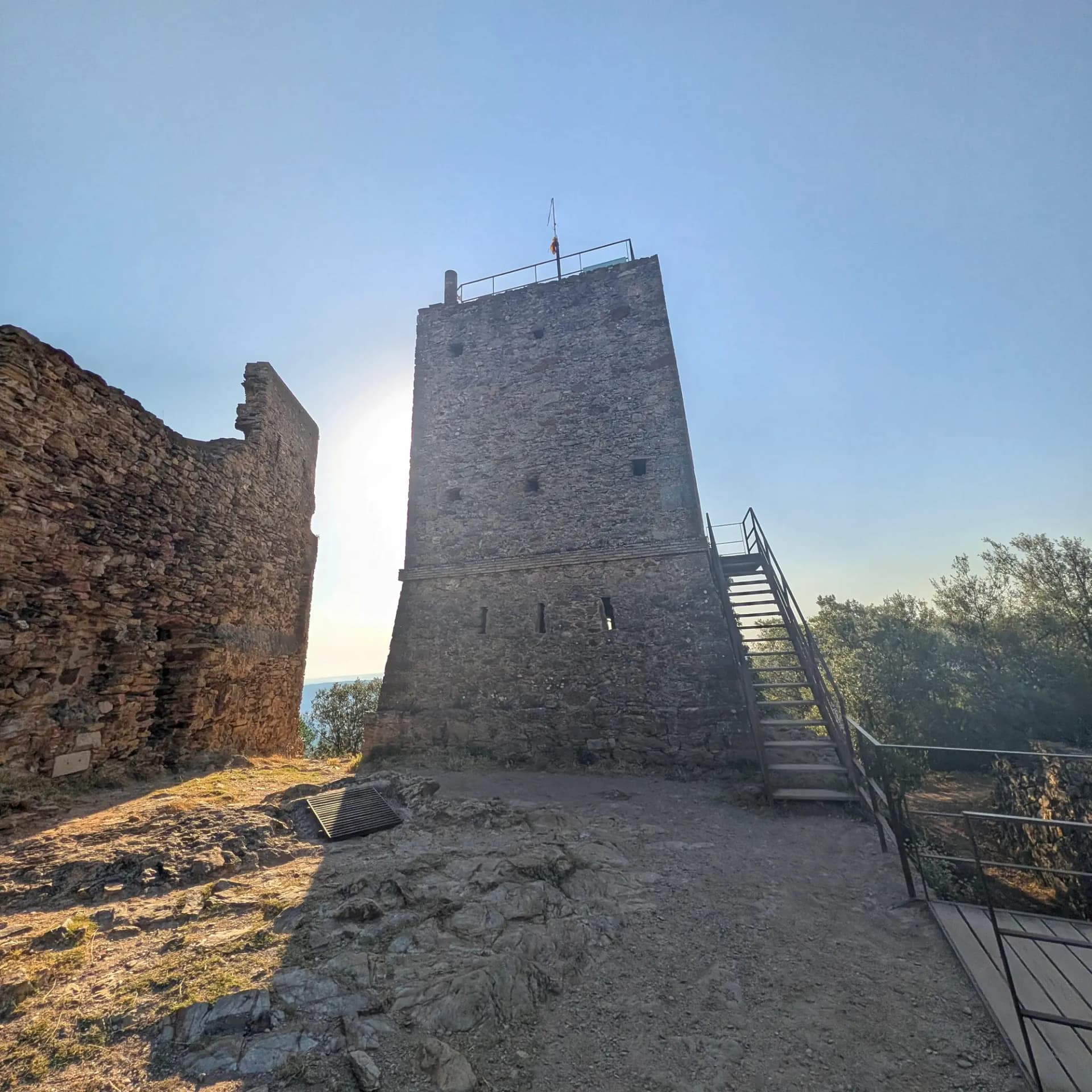
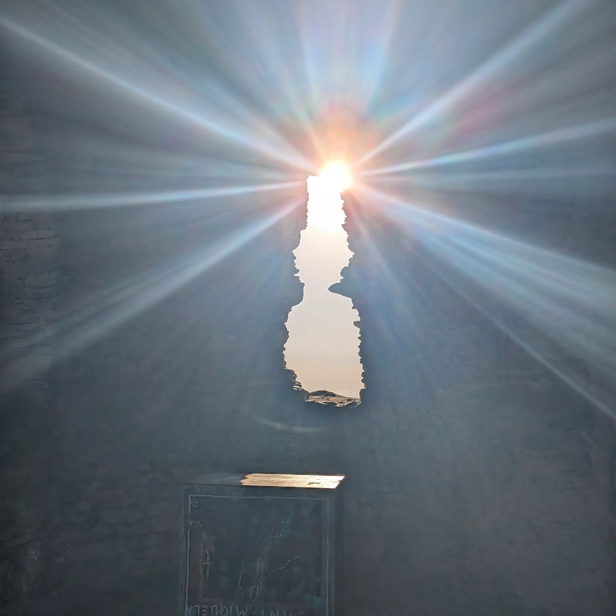
The immediate surroundings of the summit are dominated by the architectural complex of Castell de Sant Miquel, encircled by a perimeter moat. Within this enclosure, remnants of an old 15th-century Gothic hermitage dedicated to Santa Maria and Saint Michael Archangel coexist (utilizing the base of an older medieval tower), alongside two 19th-century optical telegraph towers, one civil and one military. A picnic and recreation area has been set up around the castle, surrounded by holm oak forests and Mediterranean shrubs typical of the Gavarres, featuring ancient dry-stone walls that once delineated vineyard terraces.
Geologically, the subsoil of the summit is composed of a thick layer of very fine, compacted sands which, despite their compaction, crumble easily. This inherent weakness historically caused structural problems for the 12th-century medieval building, leading to its partial collapse.
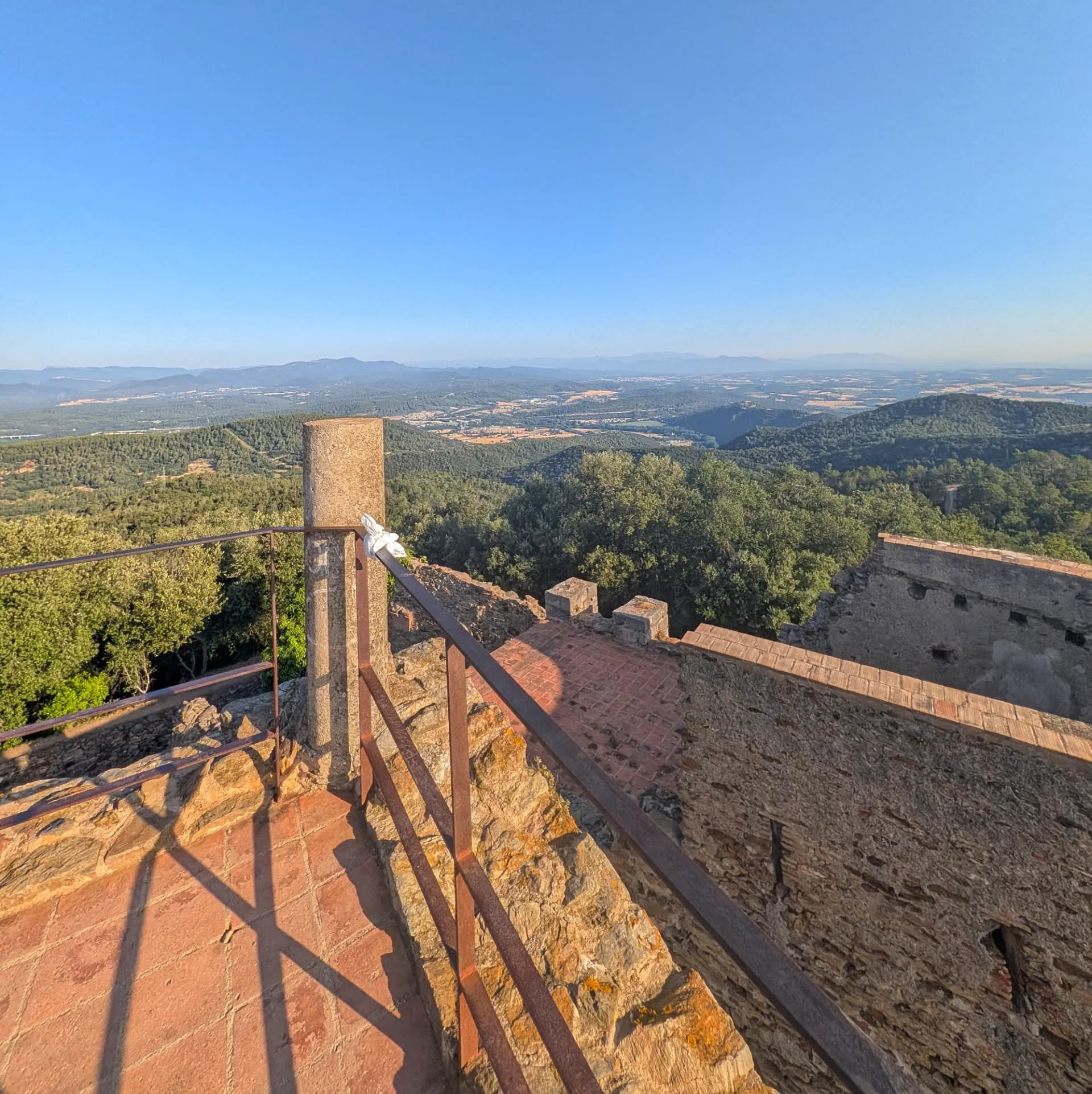
The restored telegraph tower now serves as a lookout, offering a spectacular 360-degree panoramic view. From here, the Sant Daniel and Celrà valleys, the Girona plain, and the entire Empordà plain are visible. On clear days, views extend as far as the Costa Brava (from Pals), the eastern Pyrenees, les Guilleries, Montseny, Rocacorba mountain, the Albera range, the Montgrí massif, and the northern Montnegre.
Map
Related trails
Browse the trails where I reached this summit.