Costa Pubilla
Description
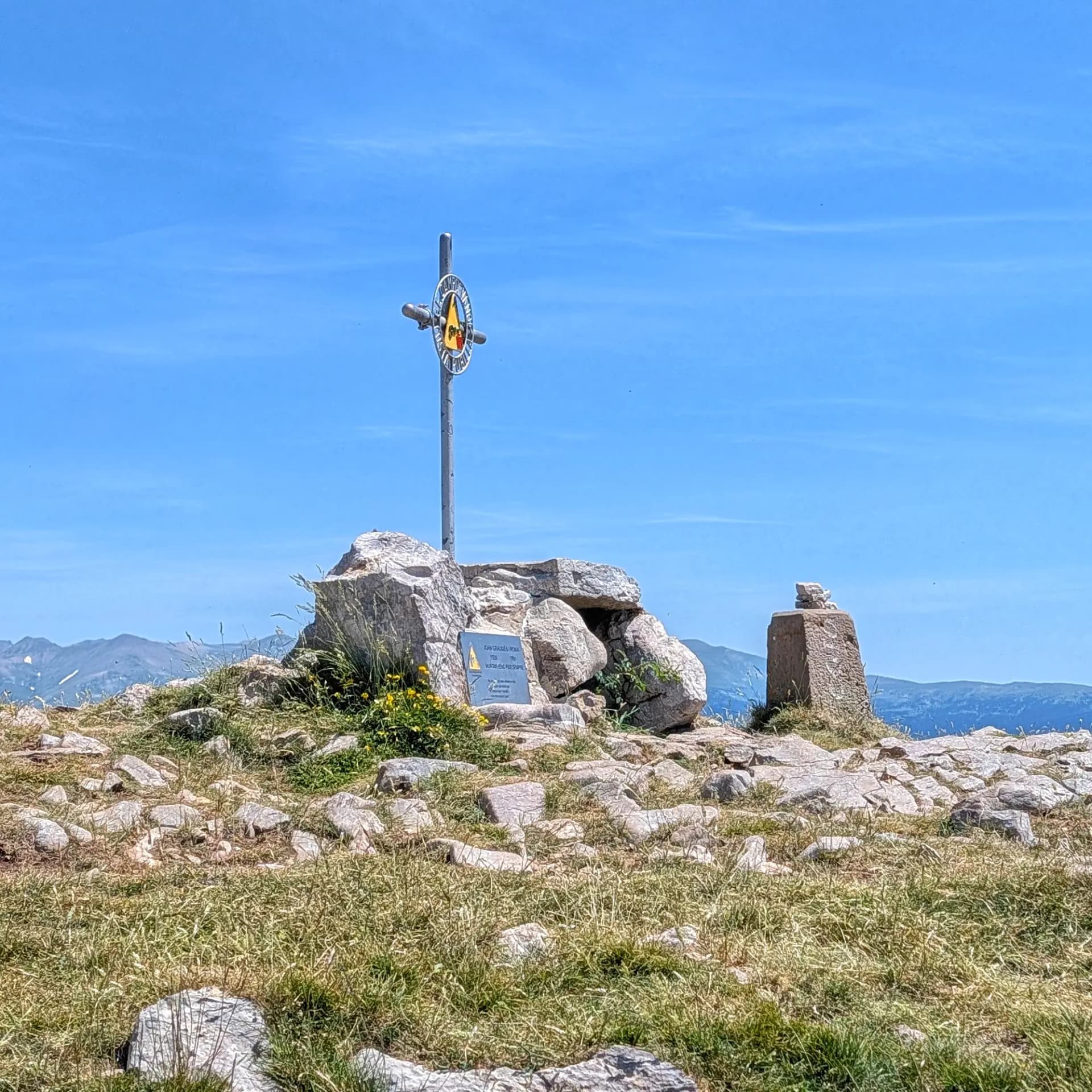
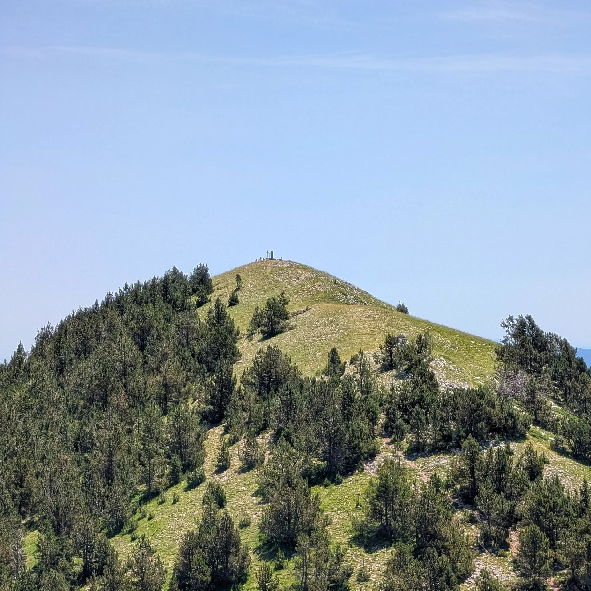
The Costa Pubilla, also known as Cim de Pla de Pujalts, is the highest point of the Serra de Montgrony mountain range, reaching an altitude of 2,056 meters. This emblematic peak marks the confluence of the municipalities of Gombrèn, Planoles, and Toses, in the Ripollès region, and is included in the FEEC's list of 100 significant peaks. At its summit, one can find a geodesic vertex, a small cross, and an orientation table, testaments to its geographical and hiking importance.
The surroundings of Costa Pubilla are part of the Serra de Montgrony Natural Area of Interest. The ridge and upper parts of the mountain are largely deforested, forming extensive areas of alpine meadows and grassy slopes where sheep and cattle farming is prominent. Further down, the mid-mountain slopes boast rich forests: the north-facing slopes (obaga) are dominated by Scots pine and fir forests, among the easternmost in the Catalan Pyrenees, while the south-facing slopes (solana) feature oak and Scots pine forests. This valuable ecosystem hosts diverse wildlife, including species like the capercaillie, bearded vulture, wildcat, deer, and Pyrenean newt. Interestingly, near the Coll de la Bona, a bunker from the Francoist P Line of defense, built in the 1950s, can be discovered.
Geologically, the summit is primarily composed of sedimentary rocks, specifically limestone and shale (lutite).
Thanks to its advanced position and the absence of trees at the top, Costa Pubilla offers an exceptional 360-degree viewpoint, encompassing a vast expanse of Catalonia and the Pyrenees. The views include:
- To the north: The Planoles valley, the majestic Puigmal massif (2,913 m), and the mountains surrounding Núria.
- To the west: The ridge of the Serra de Montgrony itself, Puigllançada, the eastern end of the Serra del Cadí, and the characteristic silhouette of Pedraforca.
- To the south: The central Catalonia regions, with the Baix Ripollès, the Osona plain, the Montseny massif, La Mola, and the iconic mountain of Montserrat.
- To the east: The reliefs of La Covil peak, the Serra Cavallera, and El Taga.
Walking along the same ridge, several nearby peaks can be found, such as Puig de Coma Ermada and La Covil (2,001 m) to the east, and Tossal de Meians (2,051 m), L'Emperadora, and Pedra Picada (2,045 m) to the west.
Beyond the municipalities sharing the summit (Gombrèn, Planoles, and Toses), other nearby towns serving as starting points for ascent routes include Campelles and Nevà. The most notable human element in the vicinity is the famous Santuari de Montgrony, the starting point for the classic route to this summit.
Map
Related trails
Browse the trails where I reached this summit.