Gra de Fajol
Description
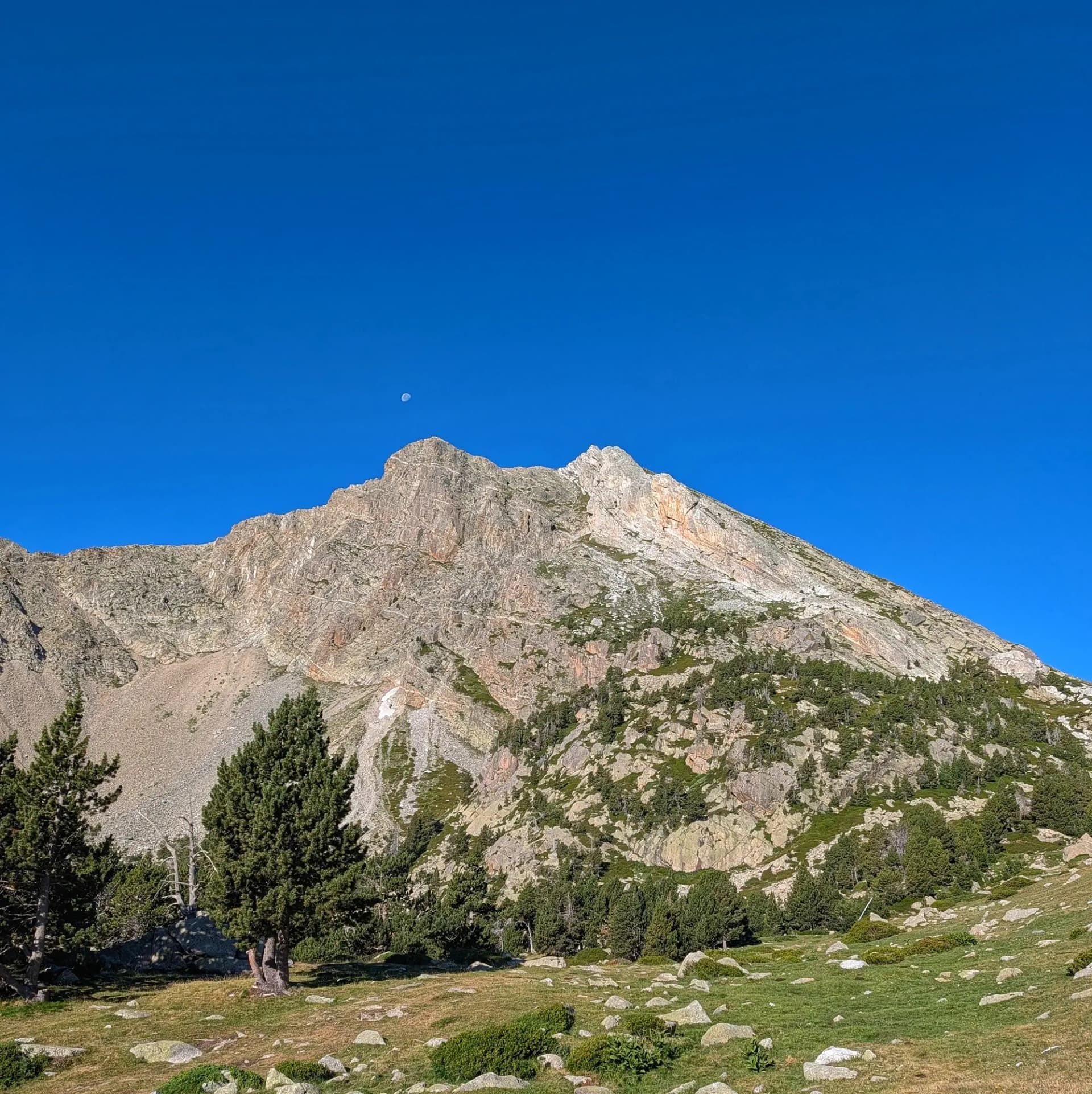
The Gra de Fajol, standing at 2,714 meters in altitude, is one of the most emblematic peaks in the upper valley of the Ter River, within the Ripollès region. It forms part of the Ter and Freser Headwaters Natural Park. This massif stretches in an west-east direction and is comprised of two main summits: the Gra de Fajol de Dalt or Gran (2,714 m) and the Gra de Fajol de Baix or Petit (2,565 m). This mountain ridge acts as a natural barrier separating the extensive glacial cirque of Ulldeter to the north, from the Coma d'Orri cirque to the south.
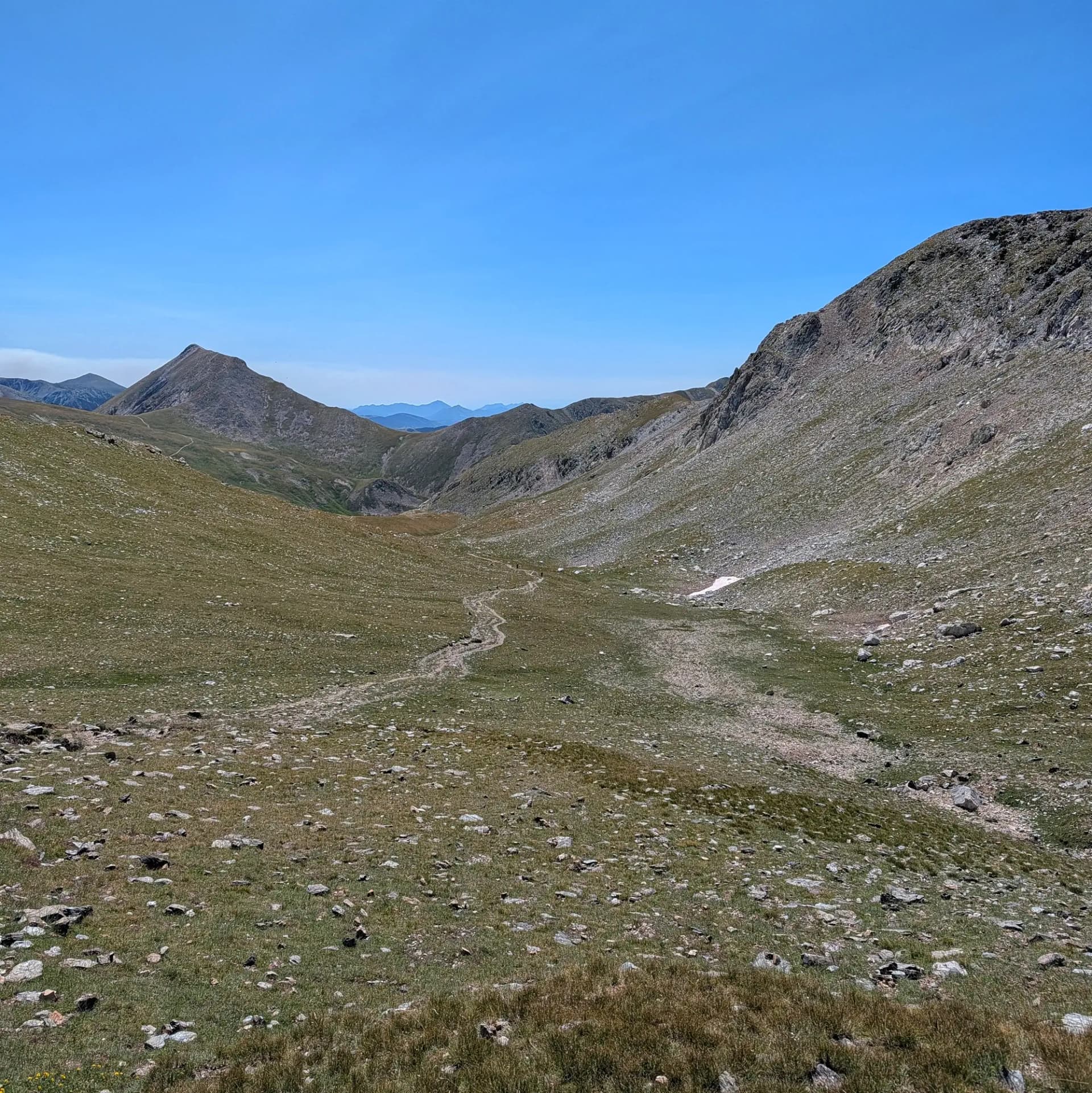
The surroundings of Gra de Fajol are an area of significant hiking and alpine tradition, located in the heart of the Camprodon Valley. At its base, the Ter River originates (Fonts del Ter), and remnants of the old Ulldeter refuge, along with the current refuge (2,220 m), can be found. It is also close to the Vallter 2000 ski resort. The most common access to the summit is via the Coll de la Marrana (2,529 m), an important geographical pass. During winter, its northwest face attracts alpinists for introductory snow and ice climbing in couloirs such as Canal Occidental or Astaroth.
Geologically, Gra de Fajol is composed almost entirely of intrusive rocks, specifically gneisses belonging to the Freser, Carançà, and Canigó formations. The predominant rock for climbing is a quartz of highly variable quality. Geomorphologically, the Gra de Fajol ridge exemplifies horns or pyramidal peaks, sharpened by the erosion of ancient Quaternary glaciers.
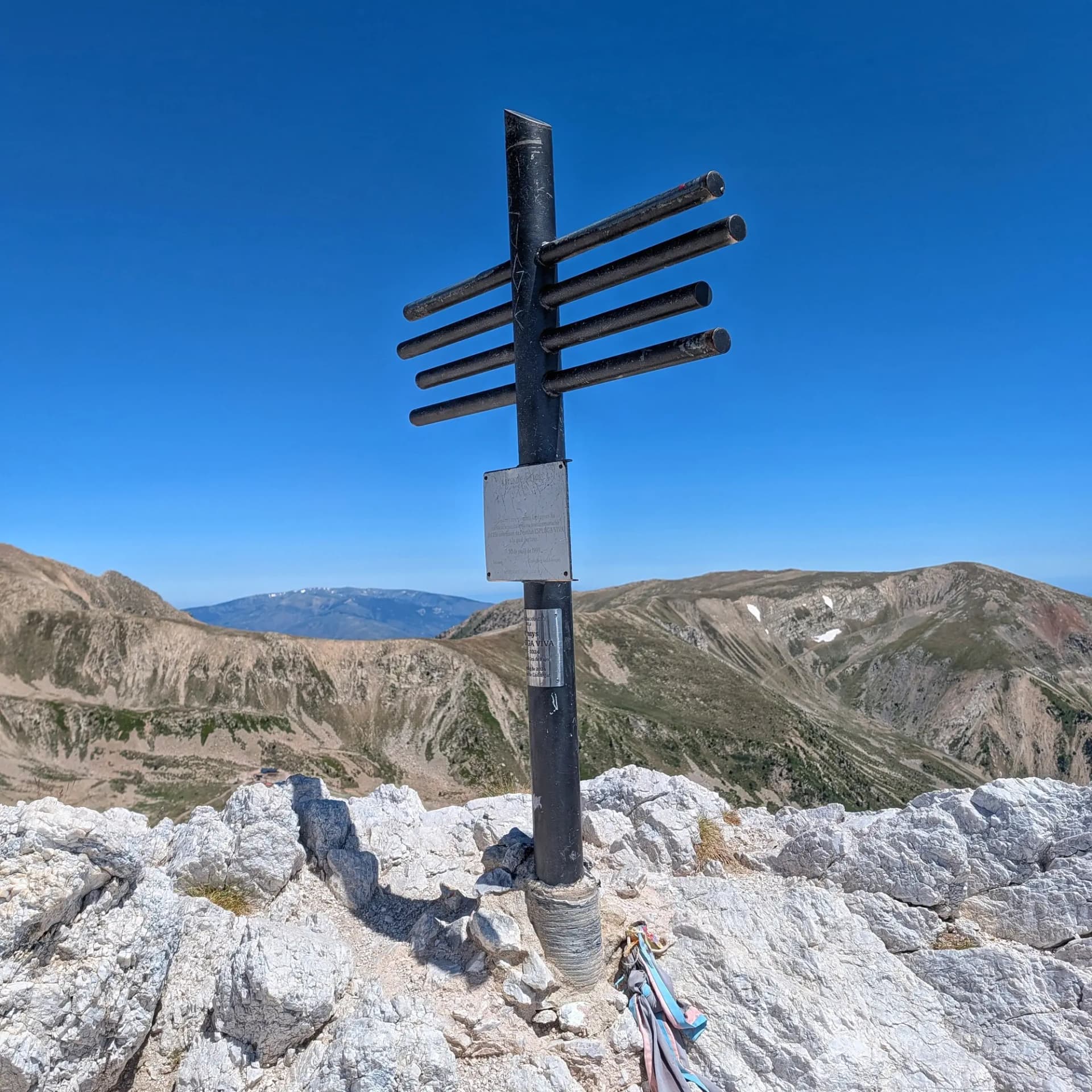
The views from this summit, crowned by a small cross, are described as spectacular and magnificent. From here, one can command a bird's-eye view of the La Molina plains and the Ulldeter cirque, with a privileged perspective of Pic de Bastiments (2,881 m), Pic de la Dona, and Costabona.
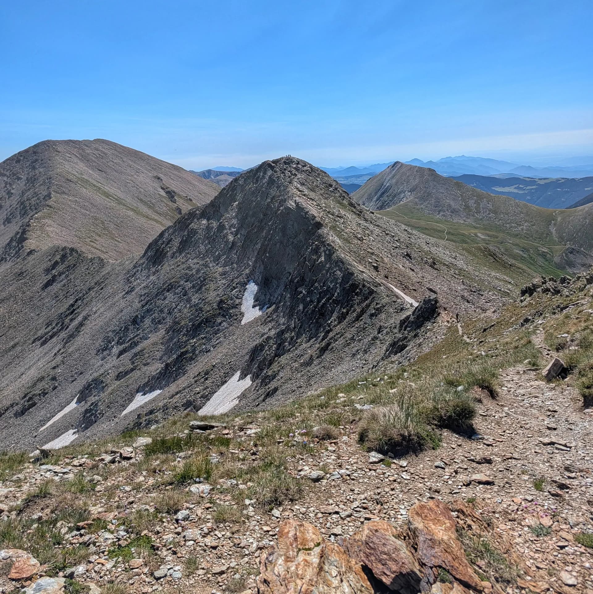
Among the nearby peaks, the Pic de Bastiments, connected to Gra de Fajol via Coll de la Marrana, stands out. Other close summits include Pic de la Dona (2,702 m) to the northeast, Pic de Pastuira, and the Gra de Fajol Petit (2,565 m) itself, which it joins via a narrow and aesthetically pleasing aerial ridge. The reference municipality for accessing the area is Setcases, with Vilallonga de Ter and Camprodon also being nearby towns.
Map
Related trails
Browse the trails where I reached this summit.