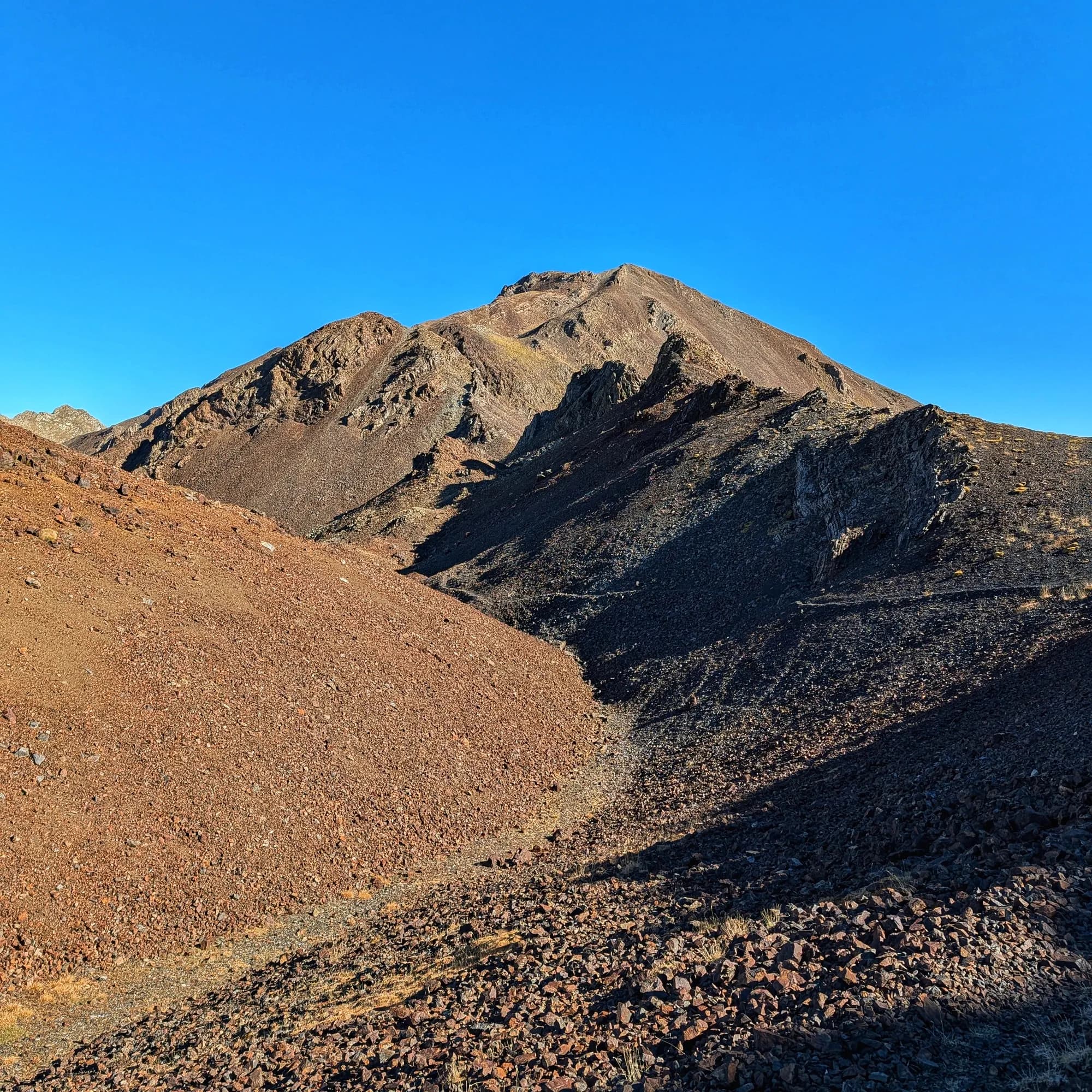
Montorroio
Description
The Montorroio is a prominent peak of 2,862 m in the Axial Pyrenees, marking the boundary between the municipalities of La Torre de Cabdella (Pallars Jussà) and Sort (Pallars Sobirà), within the former municipality of Llessui. It rises on the great mountain ridge that divides the Vall Fosca (Flamisell basin) to the west, and the Vall d'Àssua (Noguera Pallaresa basin) to the east, and is closely linked to the Montsent de Pallars, with which it shares the peripheral protection zone of the Aigüestortes i Estany de Sant Maurici National Park.
Its most notable feature is its peculiar reddish or garnet colour (hence its name, as "roi" in Pallarès catalan means red) due to Devonian materials which give it a relief of rounded and gentle ridges, although its slopes are covered with colourful scree. Montorroio and Montsent de Pallars are connected by the ridge and the Collada de Coma Plana, and it is common to summit both peaks on the same itinerary. A geodesic vertex is located on the summit.
Map
Related trails
Browse the trails where I reached this summit.


