Pic de Comaloforno
Description
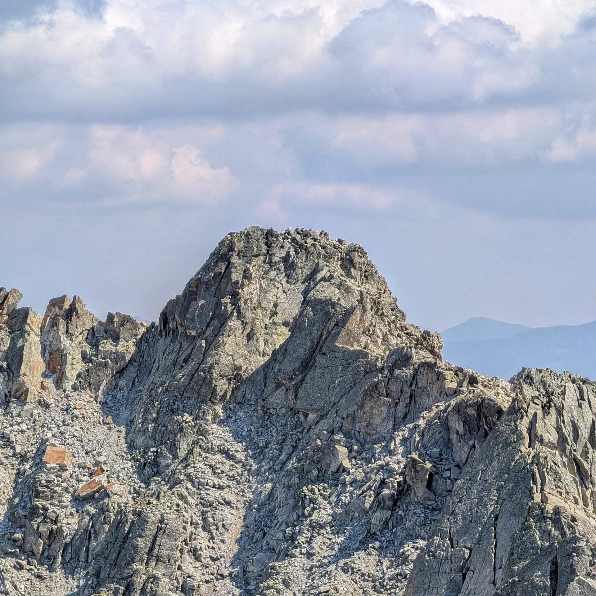
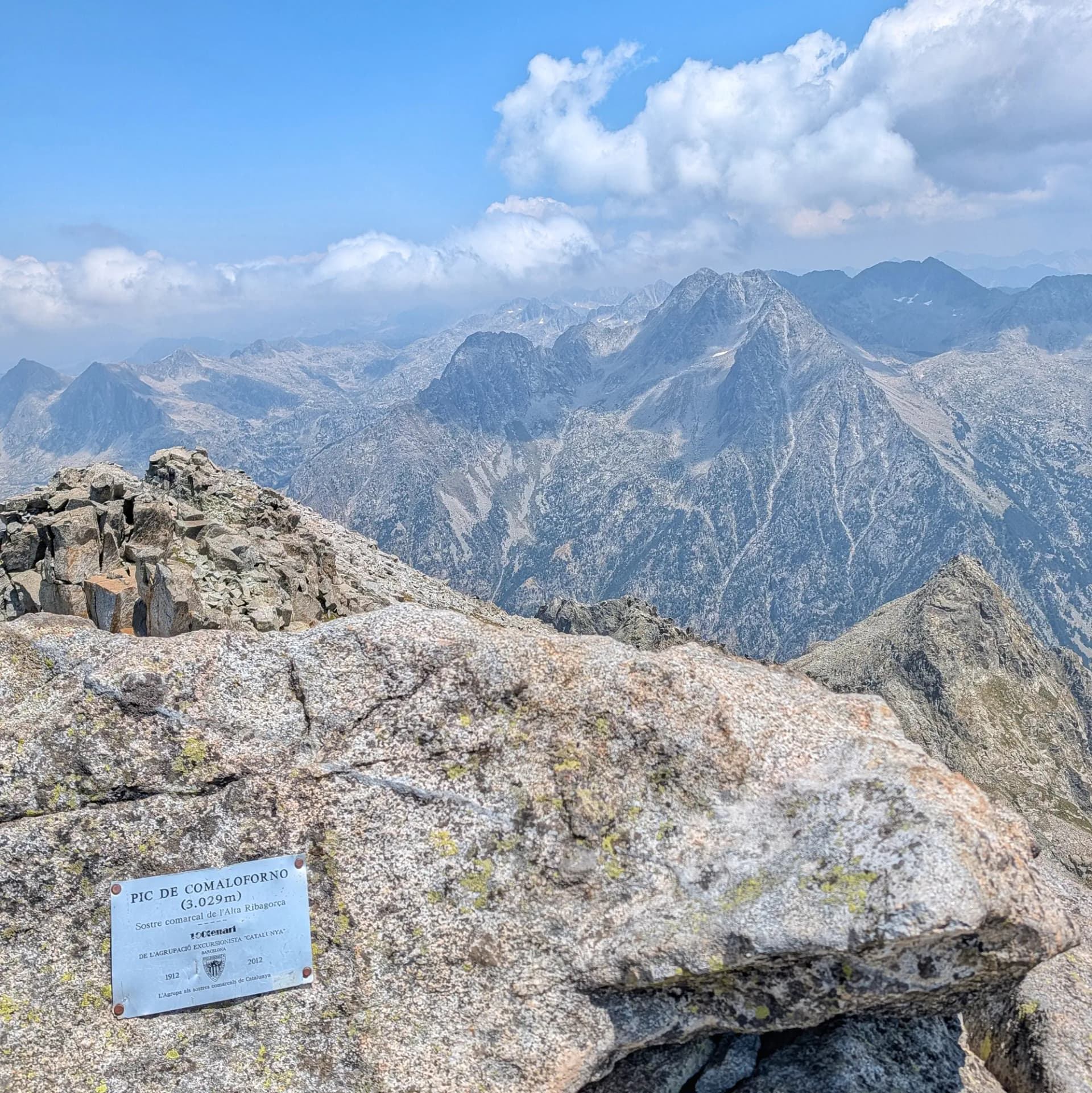
The Pic de Comaloforno, standing at 3,029 meters, is the highest peak in the Alta Ribagorça region and the absolute highest point within the Aigüestortes i Estany de Sant Maurici National Park. Located in the municipality of Vall de Boí, it forms the southern extremity of the Besiberri massif and the northwestern edge of the Comalestorres massif, separating the Besiberri valley from the headwaters of Caldes. Its name, derived from "coma de la forna," refers to a small cave or rock hole, similar to one found on its own crest.
The surroundings are a true high-mountain paradise of distinctly glacial origin, featuring spectacular hanging glacial valleys (Llubriqueto, Besiberri, Ribera de Caldes) and numerous high-altitude lakes, such as the Gémena lakes, the Gelats lakes, and the small Comaloforno lake, nestled in a perfect glacial cirque at its base. Geologically, the summit is composed of granitic rock, intensely sculpted by Quaternary glaciers that carved out cirques and sharpened the mountain's profiles, creating rugged ridges and abrupt vertical walls.
From its summit, a privileged viewpoint, breathtaking panoramic views extend in all directions. To the west, the Maladeta massif and Aneto are clearly visible, while other emblematic peaks like Montardo, Punta Alta de Comalesbienes, Pic de Peguera, Mont Roig, Certascan, and Pica d'Estats can be seen all around. The formidable and narrow Besiberris ridge also unfolds to the north.
Comaloforno is part of the same ridge as Besiberri Sud (3,024 m), connected by a technical and demanding rocky crest. Further north along this ridge lie Besiberri del Mig (2,995 m) and Besiberri Nord (3,014 m). Other neighboring peaks include Pic d'Abellers (2.982 m), Punta de Passet (2.998 m), Punta de Lequeutre (2.968 m), and Pic de Comalestorres (2.808 m). The villages of the Vall de Boí, with Caldes de Boí serving as a common starting point, and the renowned Romanesque villages of Boí, Taüll, Erill la Vall, and Barruera, are located a short distance away, while El Pont de Suert is the regional capital.
Map
Gallery
Related summits
Browse the summits close to this summit (max 10 km).
Related trails
Browse the trails where I reached this summit.