Pic de Freser
Description
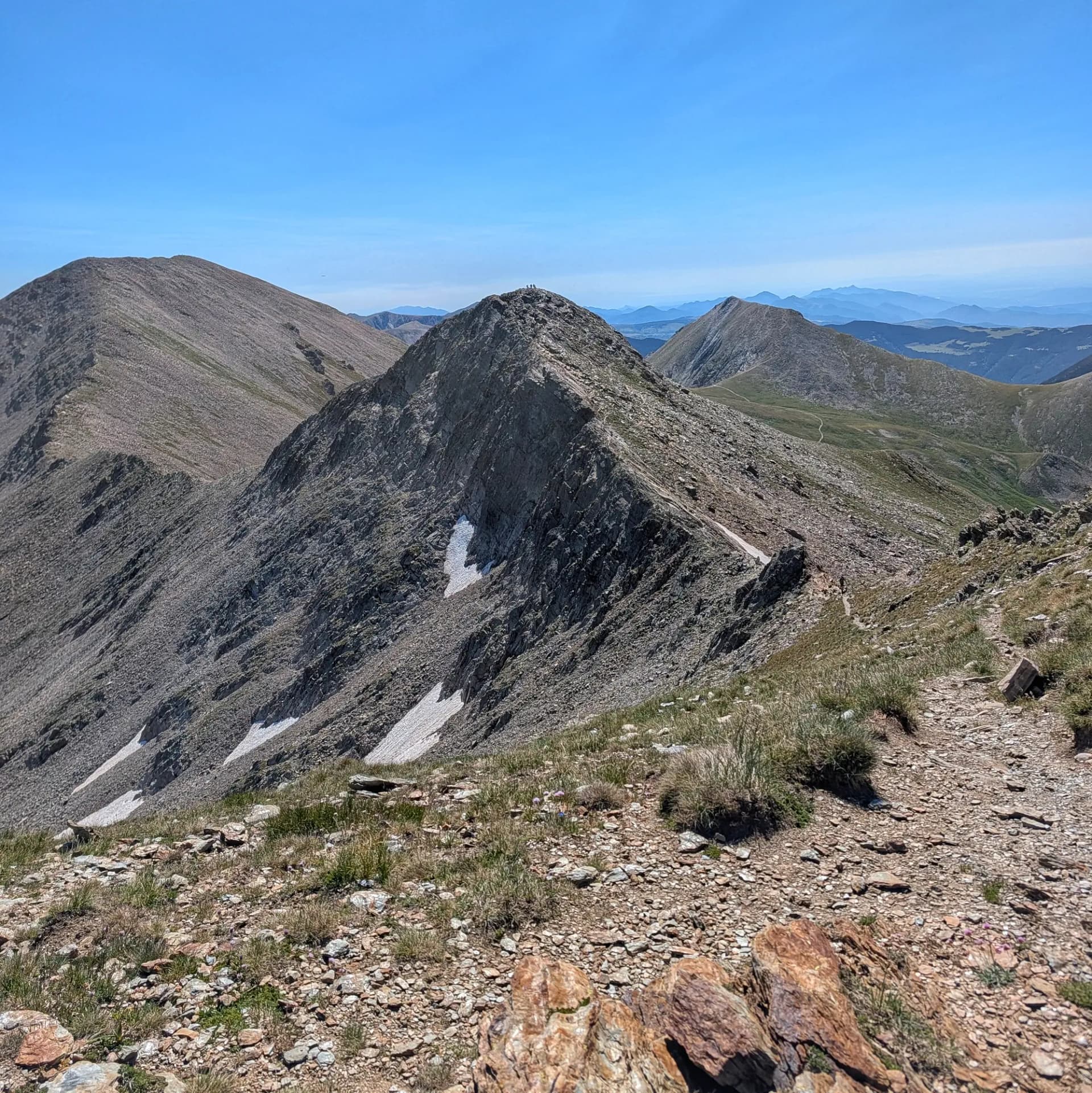
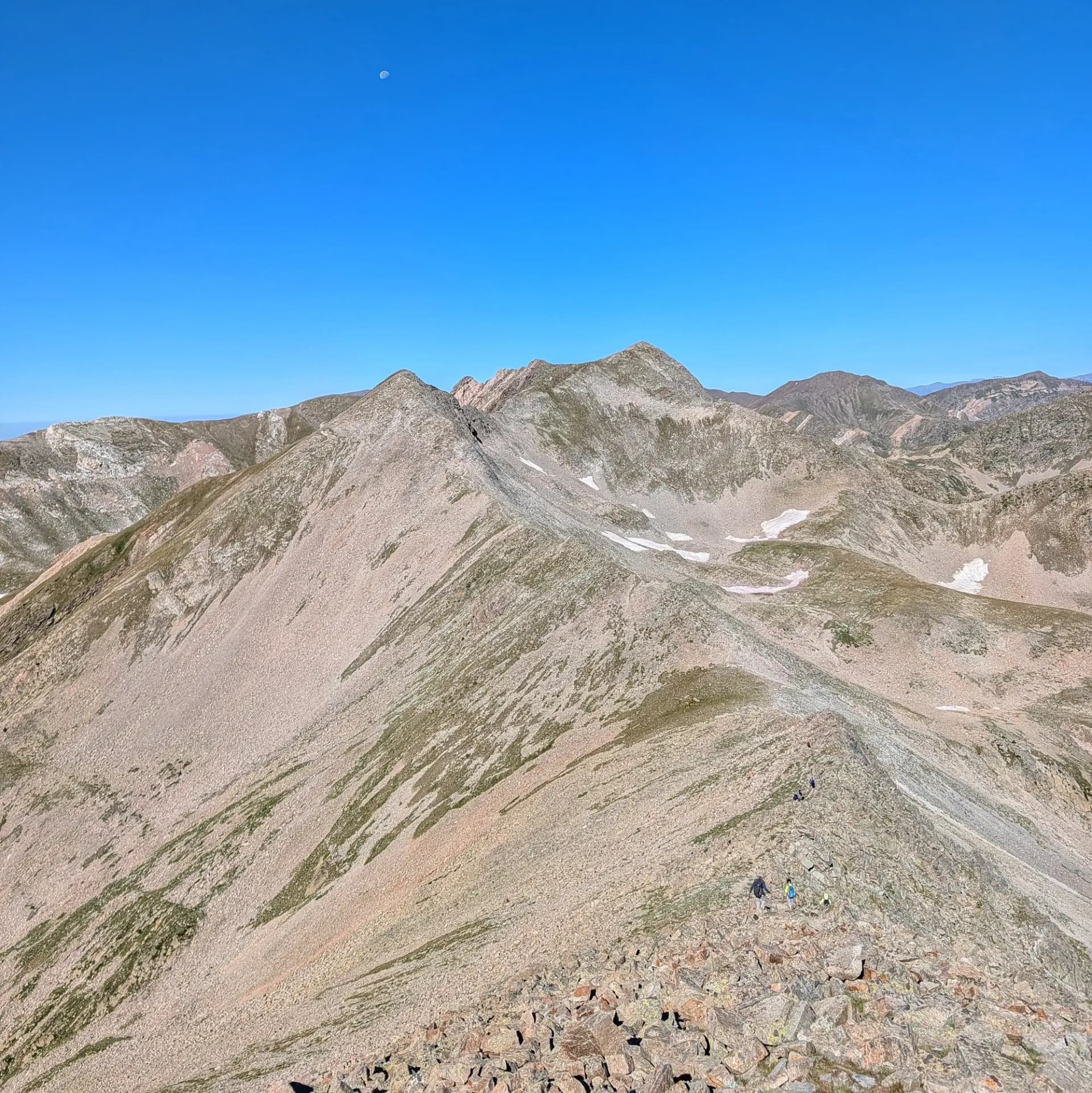
The Pic de Freser, standing at 2,834 meters of altitude, is an imposing mountain located in the Pyrenees, marking the border between Catalonia (in Ripollès, Girona province) and France (in Conflent, Pyrénées-Orientales department). This summit rises strategically at the head of the Alt Freser valley, positioned between Pic dels Gorgs and the popular Pic de Bastiments.
It is part of the Ter and Freser Headwaters Natural Park, set within a Mediterranean high-mountain environment with snow present for much of the year. Its landscape, shaped by ancient glacial processes and intense ongoing periglacial activity, is characterized by alpine meadows and grasslands, combined with extensive scree and rocky areas. Geologically, Pic de Freser is unique for its whitish marble outcrops on its southern slope, earning it the alternative name of "Vetes Blanques" (White Veins). Paleozoic metamorphic rocks, such as schists and marbles, predominate, creating a somewhat softer relief compared to granitic areas.
Considered an excellent panoramic viewpoint, Pic de Freser offers spectacular 360-degree views over both Ripollès and Conflent. It is a much quieter and less crowded summit than its neighbor Bastiments, making it an ideal spot for a well-deserved rest. From its dividing ridge, on clear days, the view stretches from the nearby Carançà lakes cirque to distant peaks like the Serra del Cadí, Montseny, or the Puigpedròs massif. Other notable peaks within a short distance include Pic dels Gorgs (2,851 m) and the majestic Pic de l'Infern (2,868 m).
The most common access route to Pic de Freser is from Setcases, following the road that leads to the Vallter 2000 ski station. Another option is to ascend from Queralbs, passing through the Gorges del Freser and by the Refugi de Coma de Vaca mountain hut.
Map
Related trails
Browse the trails where I reached this summit.