Pic de l'Infern
Description
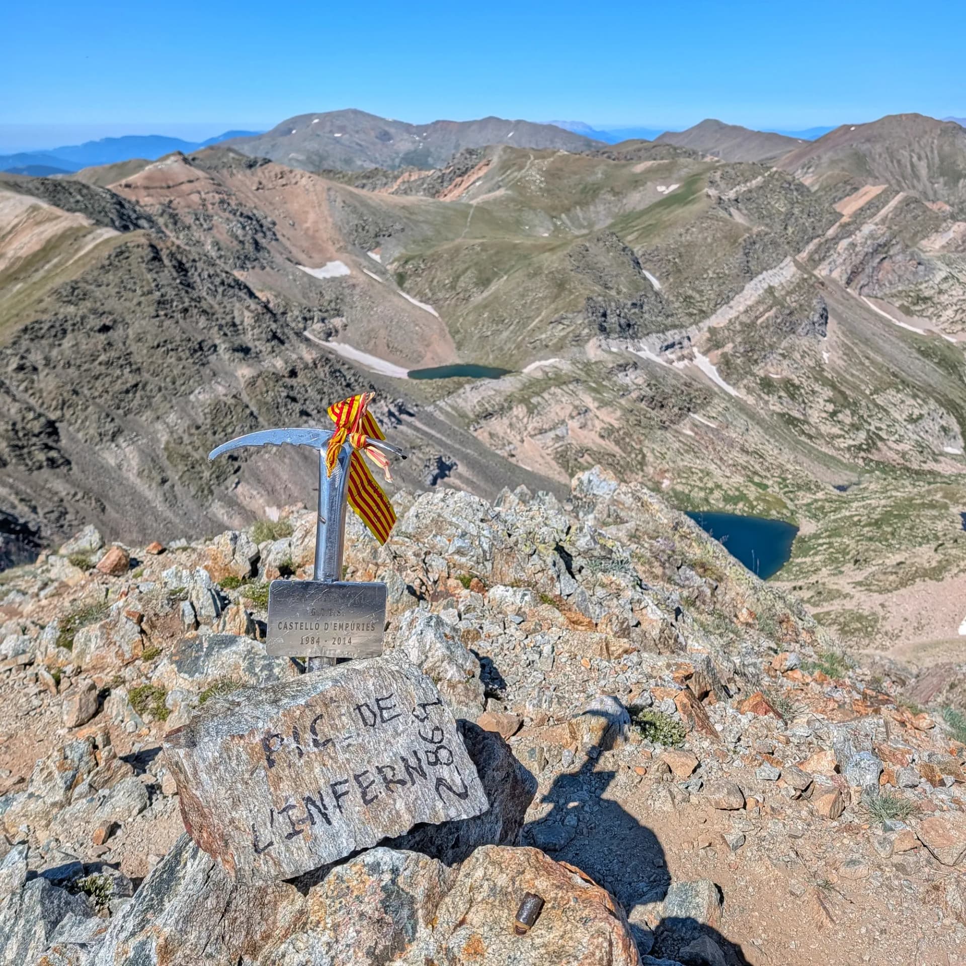
The Pic de l'Infern, standing at an altitude of 2,869.5 meters, is a prominent mountain in the Eastern Pyrenees. It is situated on the Franco-Spanish border, with the summit itself located entirely within French territory, specifically in the communal area of Fontpedrosa (Conflent). Its Catalan slope, bordering Queralbs (Ripollès), forms part of the Capçaleres del Ter i del Freser Natural Park, while the French side is integrated into the Regional Natural Park of the Catalan Pyrenees. It serves as a strategic point dominating the headwaters of the Carançà lakes cirque, linking the Núria, Ulldeter, and Carançà areas.
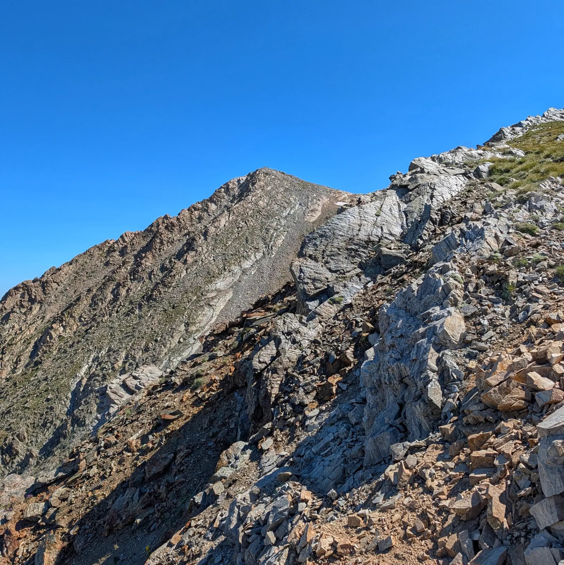
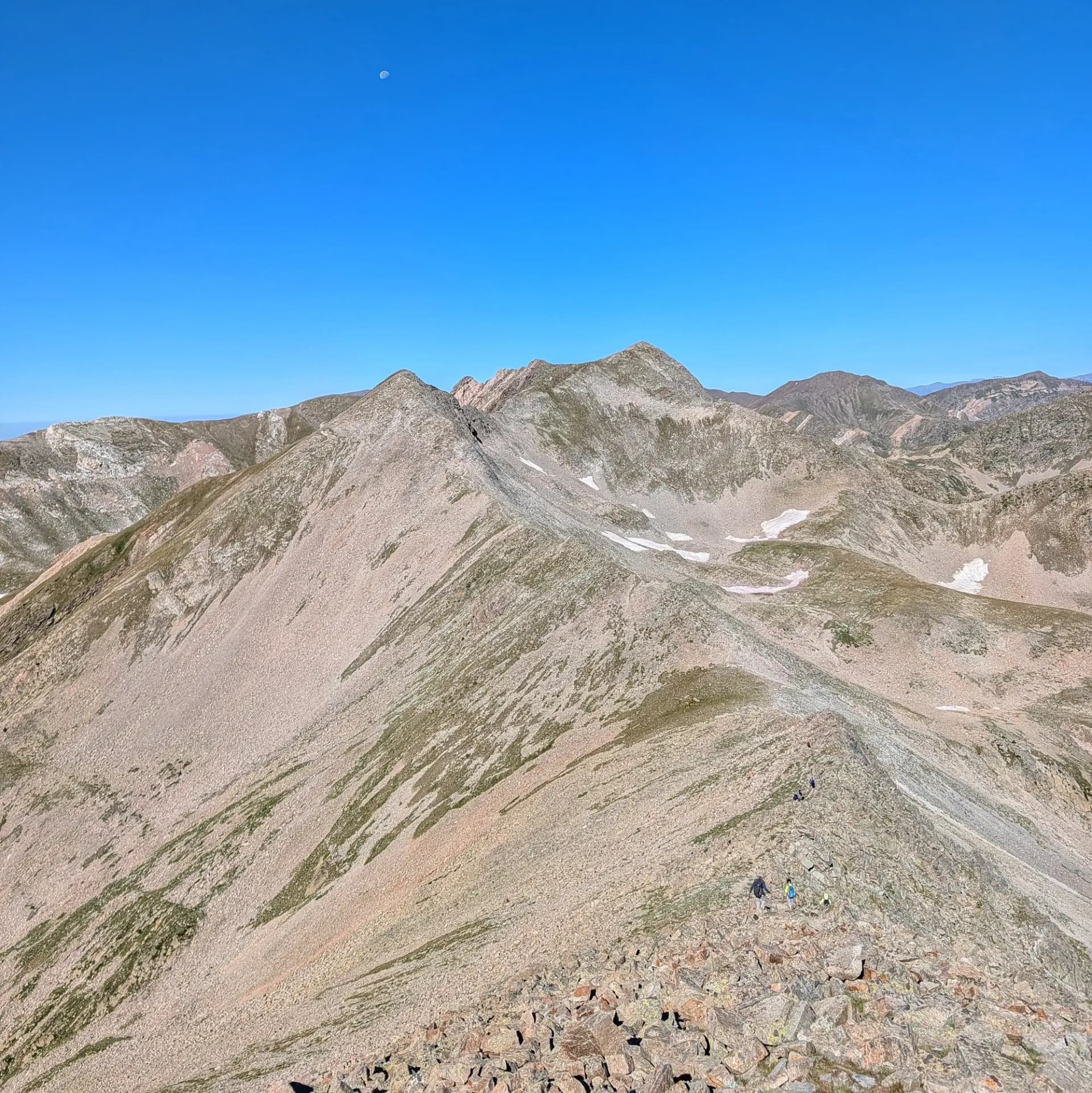
The peak's surroundings are characterized by steep terrain, featuring long slopes, exposed ridges, scree, and sections requiring scrambling over large granite blocks. Its name, "Hell's Peak," reflects the extremely adverse and changeable weather conditions that can be encountered, as well as its known tendency to attract lightning during thunderstorms. This area represents the oldest sector of the Pyrenees, composed of ancient rocks like gneiss and featuring an abrupt relief, sculpted by ancient glaciers that left behind glacial cirques and U-shaped valleys.
From the summit, weather permitting, exceptional and magnificent views of a large portion of the Pyrenees and Catalonia are offered. One can behold the Carançà lakes (Blau, Negre, and de les Truites), as well as the lakes of Coma de l'Infern and Comamitjana. The panoramic vista stretches from Cap de Creus to the Cadí mountain range, encompassing peaks such as Puigmal, Puigpedròs, the Canigó massif, the silhouette of Montseny, and the Montserrat needles. It is surrounded by other notable peaks including Pic de Freser, Pic dels Gorgs, Pics de la Vaca, Pic de Bastiments, and Pic de Noufonts. Common access routes start from villages like Queralbs and Setcases (providing access to the Vallter 2000 ski resort and Ulldeter refuge).
Map
Related trails
Browse the trails where I reached this summit.