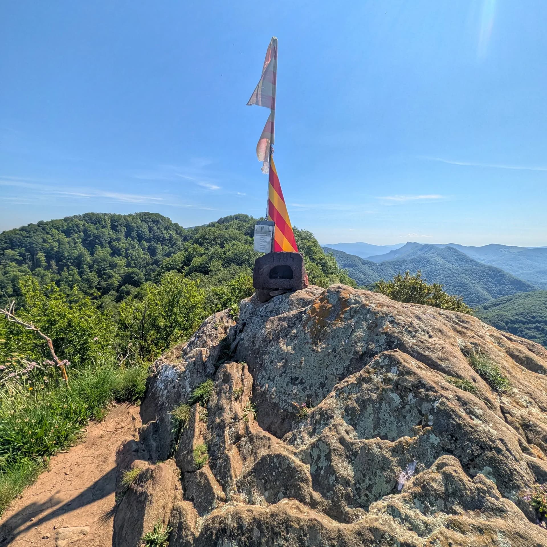
Puig de les Àligues
Description
The Puig de les Àligues (or Puig de l'Àliga), at an altitude of 1,344 meters (with a prominence of 130 meters), stands as the highest point of the Serra de Curull. Primarily located within the municipality of Sant Pere de Torelló, in the Osona region, and bordering the southeast of Vidrà, it forms part of the Milany-Santa Magdalena and Puigsacalm-Bellmunt mountain ranges Natural Area (Espai Natural). This peak, listed among the FEEC's 100 significant summits, is renowned for its strategic position and surrounding environment.
The area around Puig de les Àligues features a spectacular mid-mountain landscape, characterized by Central European-style deciduous forests, including impressive beech forests (such as the notable Fageda de la Grevolosa) and sub-Mediterranean oak forests. The trail leading to the summit follows shady ridges, traversing hidden passes like Coll de Sant Bartomeu, Coll de Gallina, Coll de la Foradada, Coll de Joan, and Coll de la Coma del Coll.
Geologically, the mountain is composed of sedimentary materials such as conglomerate, sandstone, and marl. Its topography, resembling a true "natural fortress," culminates in a steep and rocky final section that requires overcoming a simple scramble to reach the peak.
True to its name ("Eagle's Peak"), the summit is a genuine "eagle's nest" and one of the best viewpoints in the area, offering a 360-degree panorama that overlooks a vast territory. From here, one can observe:
- To the south: the Plana de Vic, Montseny, the Serra and Santuari de Bellmunt, Vidranès, and Llancers.
- To the west: the Berguedan ranges and the emblematic silhouette of Pedraforca.
- To the north and east: the peaks of the Pyrenees and Pre-Pyrenees, and on clear days, the horizon can extend as far as the Gulf of Roses.
Map
Related trails
Browse the trails where I reached this summit.