Torreta del Cadí
Description
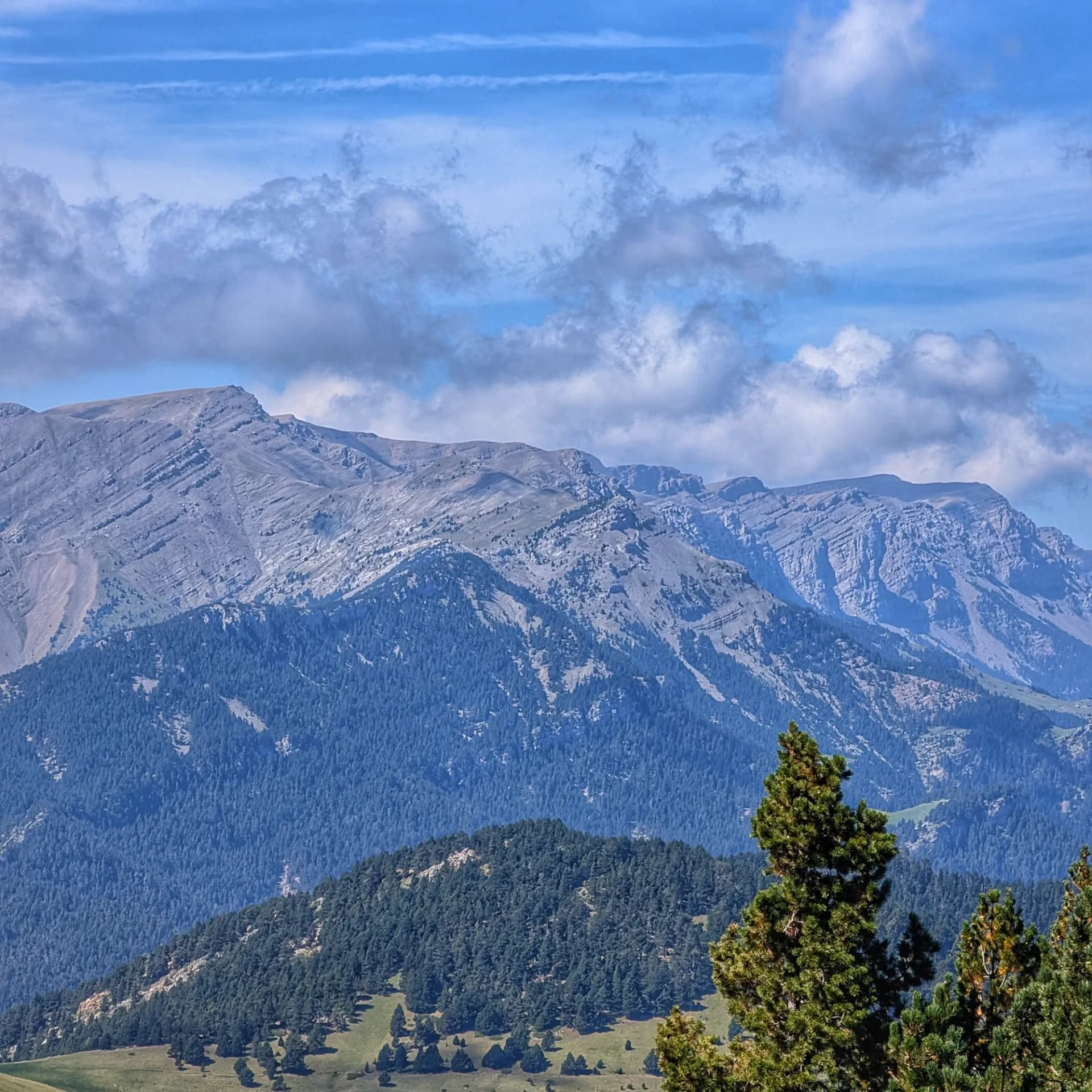
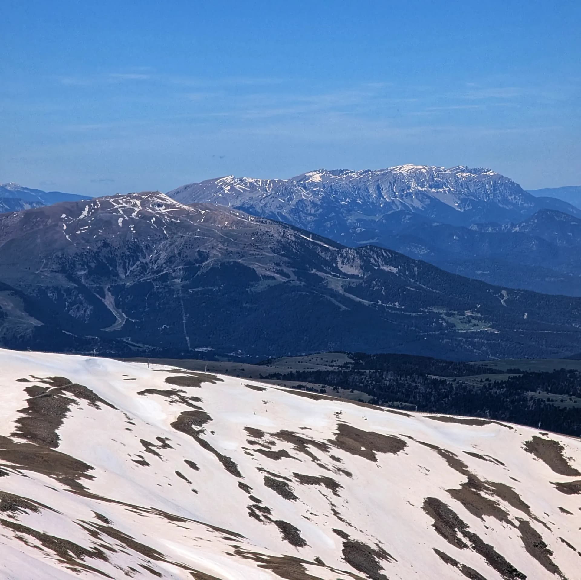
The Torreta del Cadí, standing at an altitude of 2,562 meters, is one of the most prominent peaks in the long Serra del Cadí, a defining feature of the Catalan Pre-Pyrenees. This majestic mountain is located in the Alt Urgell region, marking the border between the municipalities of Cava and La Vansa i Fórnols. It is part of the Cadí-Moixeró Natural Park and is included in the FEEC's (Catalan Federation of Mountaineering Entities) list of 100 significant peaks, featuring a geodesic vertex at its summit.
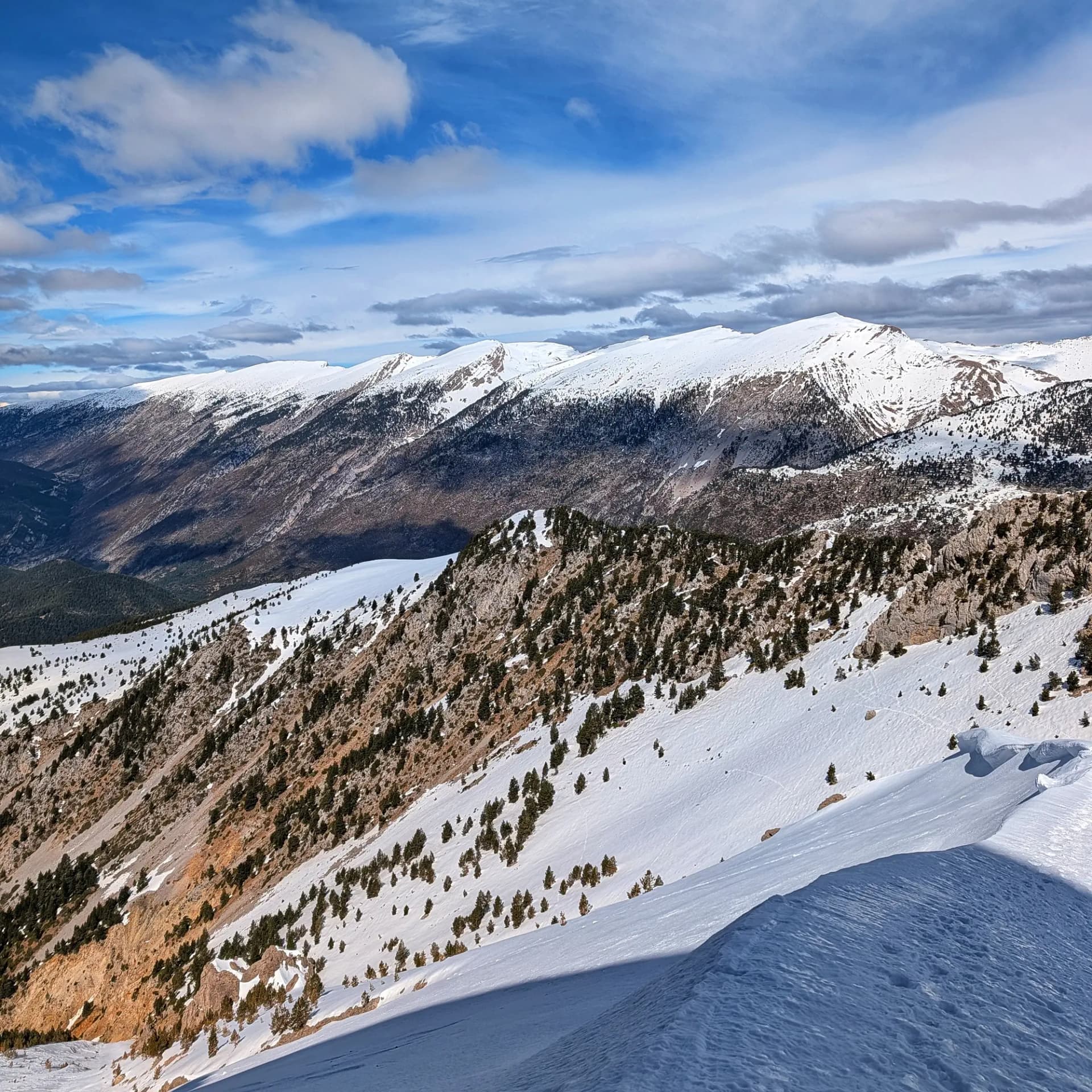
The environment surrounding Torreta del Cadí is rich in biodiversity, showcasing a significant altitudinal gradient that hosts diverse ecosystems. From montane and subalpine forests of Scots pine, black pine, oak, and scattered beech in the lower elevations, to high mountain meadows and stony terrain in the alpine zone along the ridge. Fauna is abundant and well-preserved, with the presence of chamois, marmots, and large raptors such as the golden eagle, griffon vulture, and lammergeier, as well as the wallcreeper, which nests in the massif's impressive vertical cliffs. In winter, strong winds on the ridge can create spectacular snow cornices on the north face.
Geologically, the Serra del Cadí is primarily composed of limestone. Its most striking feature is the dramatic asymmetry between its slopes: an impressive north face characterized by steep, vertical cliffs and narrow channels (like the Forat de la Tronca) that plunge abruptly into the Cerdanya basin. In contrast, the south face is remarkably gentler and flatter. At the base of the large channels, scree slopes accumulate, and flat areas can be identified, which are, in fact, ancient frontal moraines from the last glaciation.
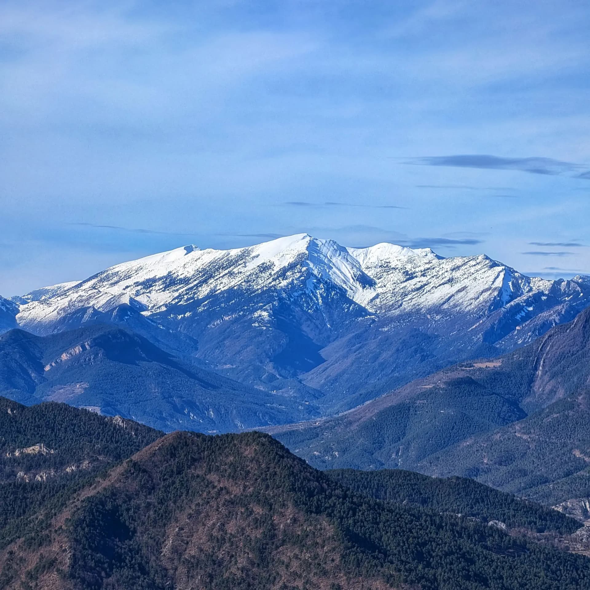
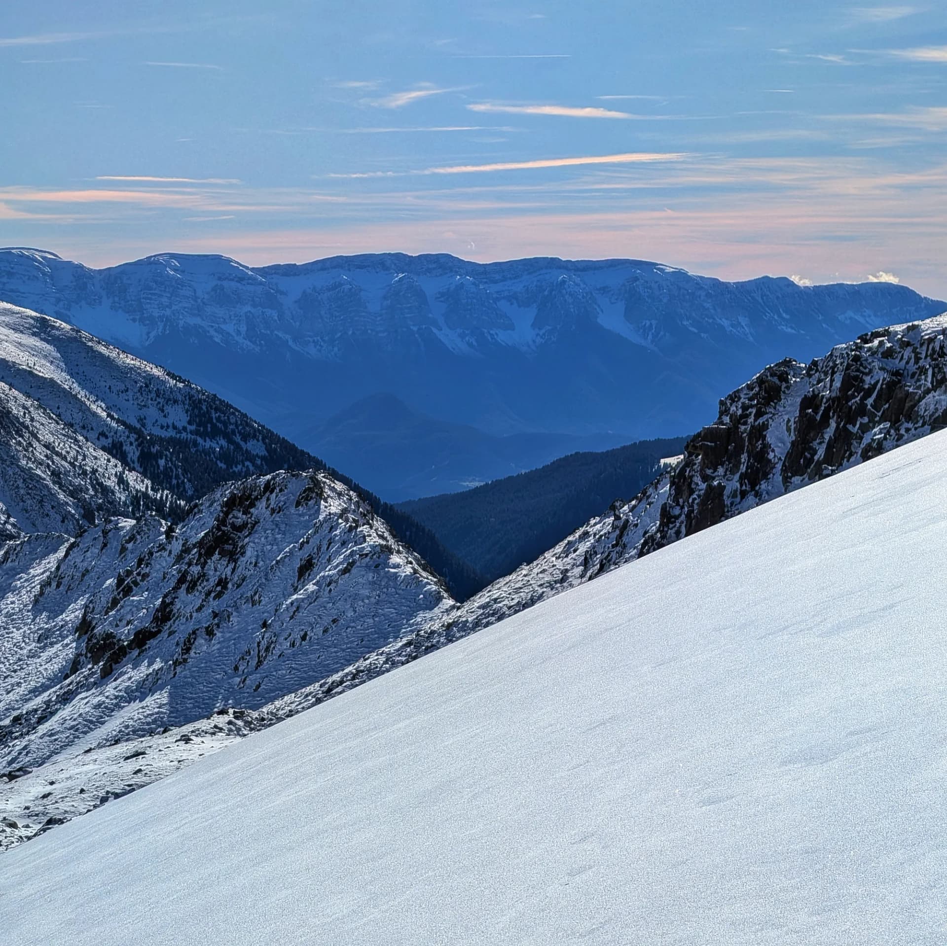
Torreta del Cadí is renowned as one of the best viewpoints in the Cadí range, offering an unobstructed panoramic vista. To the north, it opens up to the Cerdanya basin, the Andorran mountains, and the Axial Pyrenees, with views stretching from Puigmal to Pica d'Estats, Maladeta, and Mont Perdut. To the east and southeast, the views towards Pedraforca are unparalleled, extending to the Serra d'Ensija, Serra del Verd, and Port del Comte. To the west and south, the entire Segre river valley, the Alt Urgell valleys (including La Seu d'Urgell), and other Pre-Pyrenean ranges are visible.
Among the notable nearby peaks are the Vulturó (2,648 m), the highest point of the range, and the Pic de Costa Cabirolera (2,604 m). Several villages in the nearby valleys, such as Adraén, Josa de Cadí, or Tuixent, serve as popular starting points for hiking routes.
Map
Gallery
Related summits
Browse the summits close to this summit (max 10 km).
Related trails
Browse the trails where I reached this summit.