Vulturó
Description
The Vulturó, also known as Puig de la Canal Baridana, is the highest point of the Serra del Cadí mountain range and the tallest peak in the entire Catalan Pre-Pyrenees, reaching an altitude of 2,649 meters. Situated within the Cadí-Moixeró Natural Park and on the administrative border between the municipalities of Josa i Tuixén and Cava (Alt Urgell), it is a highly sought-after summit by mountaineers and is included in the prestigious list of the FEEC's 100 Cims (100 Peaks).
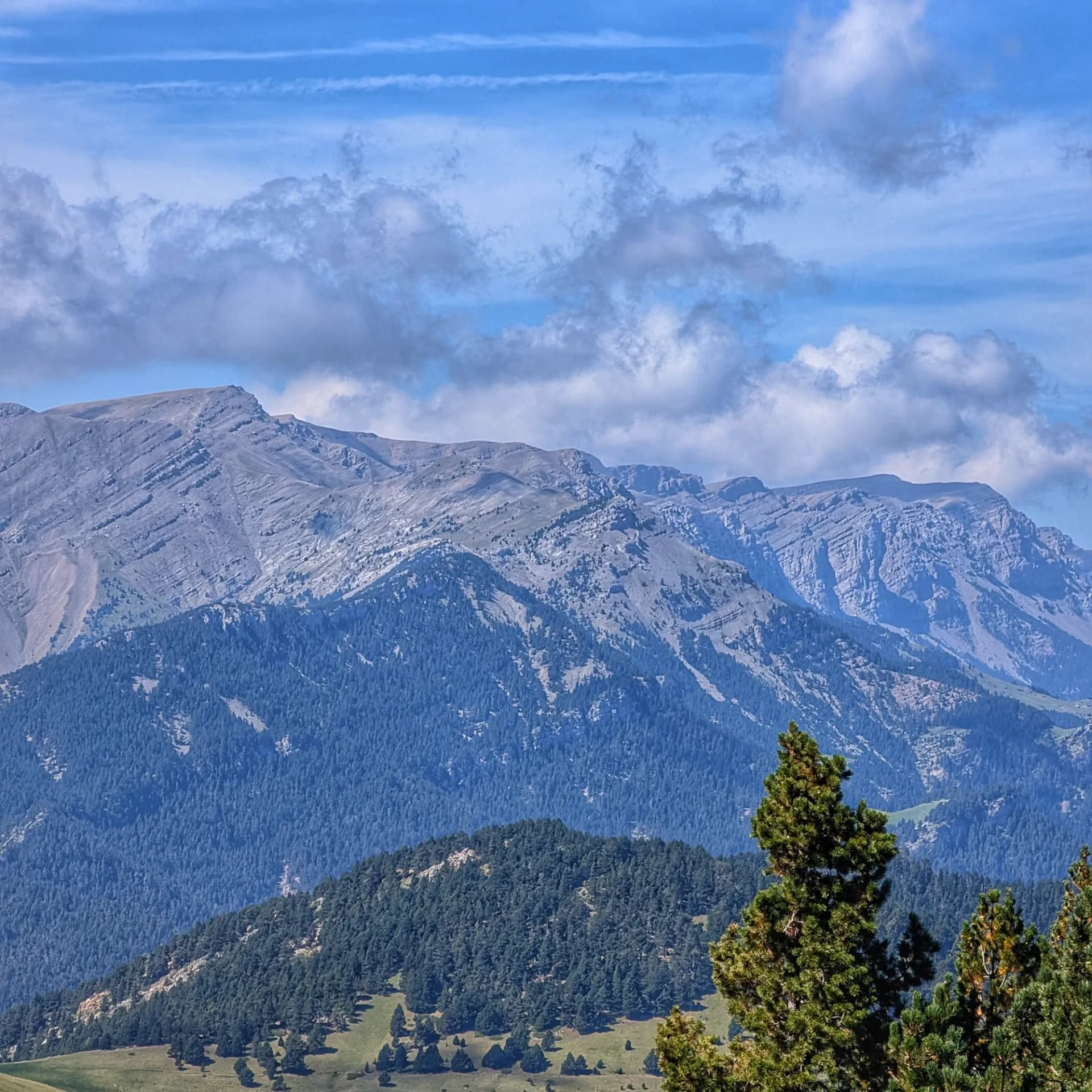
The environment of Vulturó is rugged and full of contrasts. While its southern slope is gentler, its impressive north face drops precipitously with cliffs exceeding 500 meters in height over the Baridà subregion, forming steep channels like Canaló and Canal Baridana. At lower elevations, black pine and Scots pine forests with an undergrowth of boxwood and juniper give way to high mountain meadows with endemic alpine flora at higher altitudes. Wildlife includes abundant chamois, marmots, and large birds of prey such as the lammergeier, golden eagle, and peregrine falcon. Geologically, the summit is composed of calcareous and marly materials from the Upper Jurassic period, a result of the Pyrenean orogeny and Quaternary erosion, which facilitate numerous karstic phenomena.
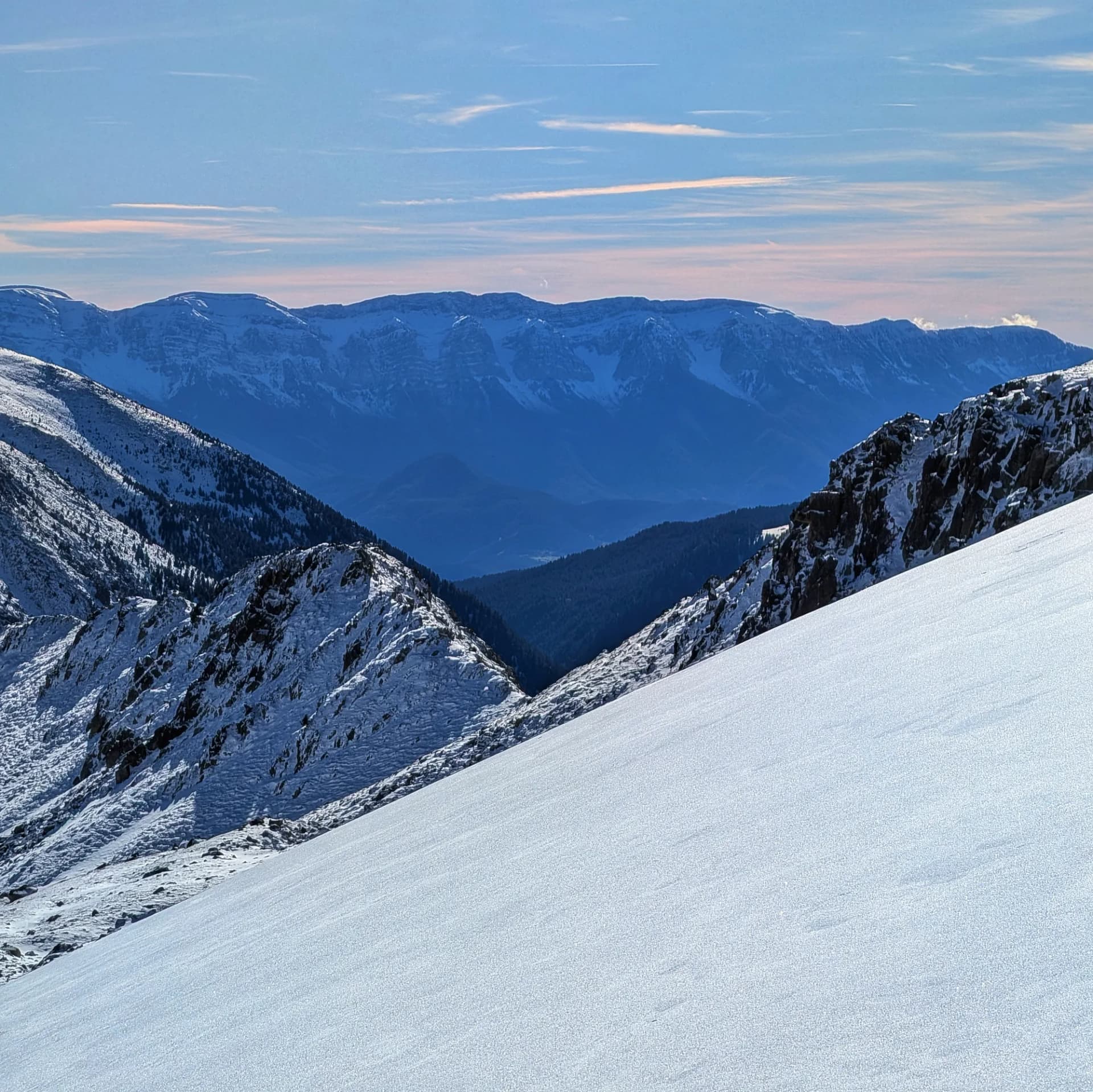
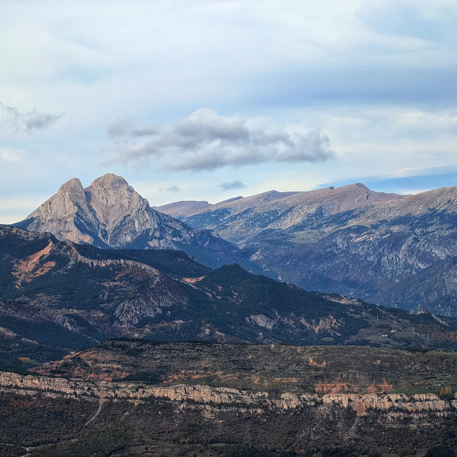
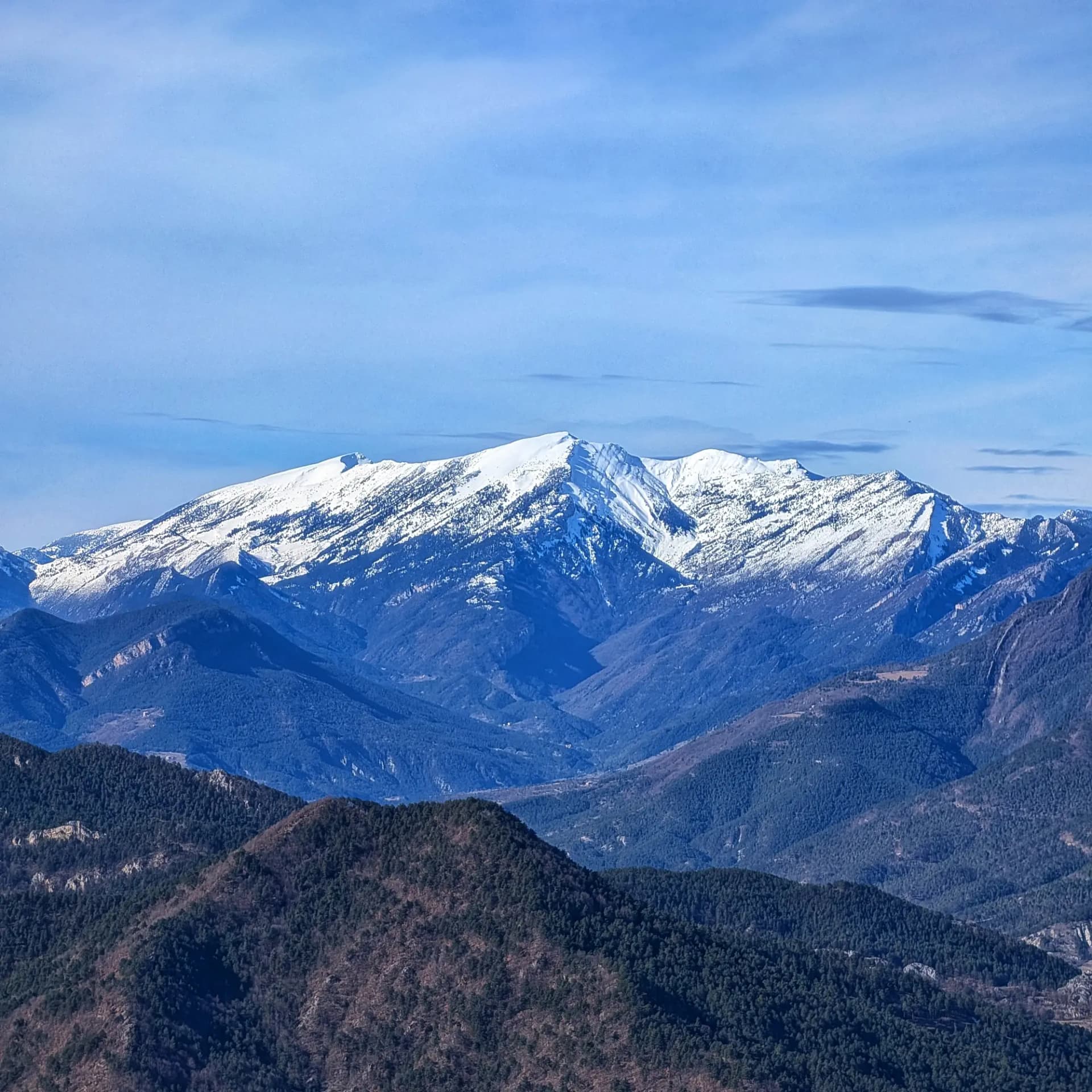
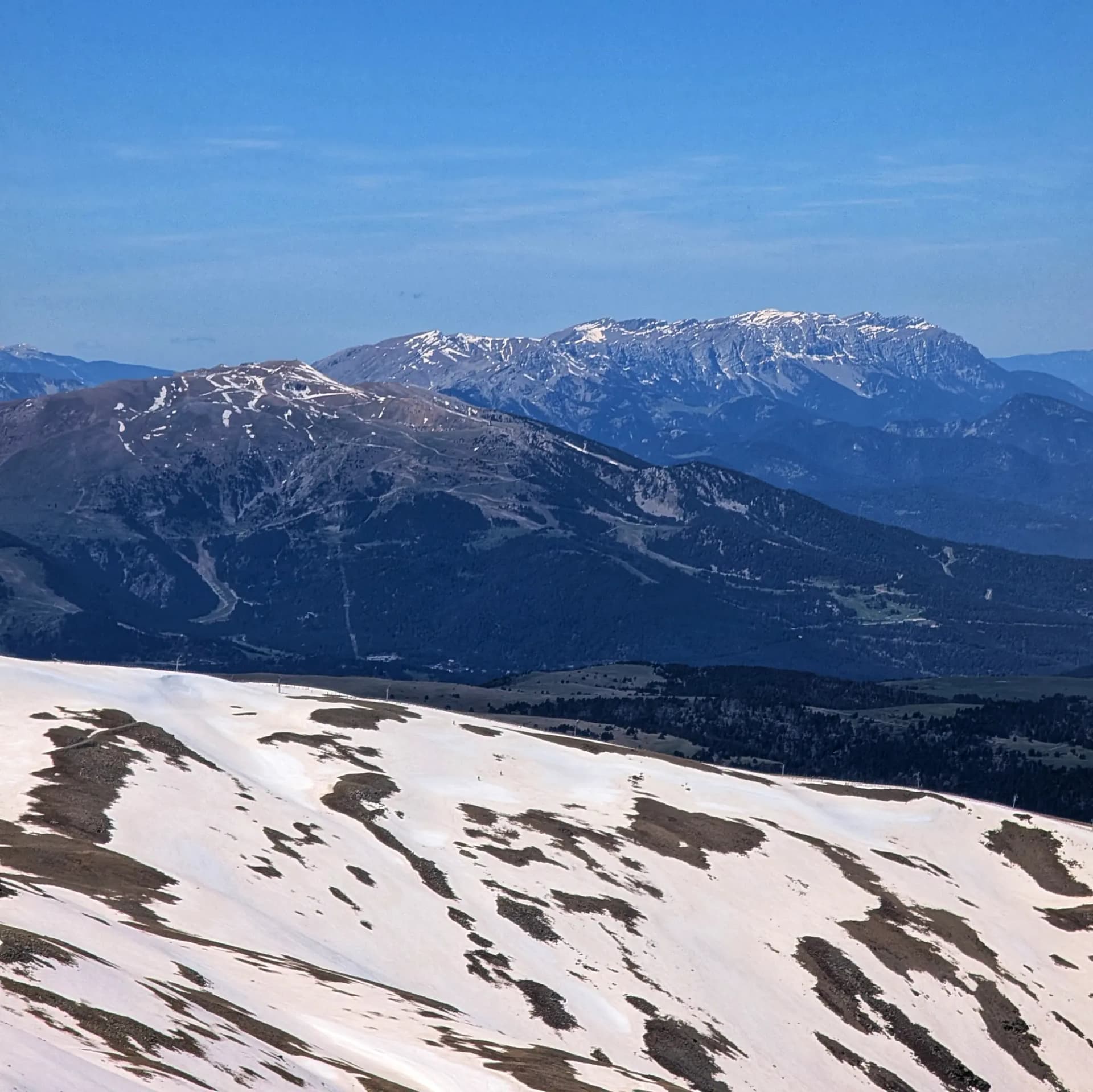
From the summit, a strategic vantage point, one can enjoy one of the most complete and impressive panoramas in the region. To the north, the view encompasses the entire Pyrenean range, from the snowy peaks of Cerdanya to the mountains of Núria and the French Ariège massifs. To the east, neighboring peaks such as Costa Cabirolera, Comabona, and the Pedraforca massif are clearly visible, while to the west, Puig de les Gralleres dominates the continuation of the Cadí. Looking south, Port del Comte can be seen, and on days with excellent visibility, the massifs of Montserrat and Montseny, with the possibility of even glimpsing the Mediterranean Sea on the horizon. Notable nearby villages include El Querforadat and Estana to the north, and Josa de Cadí, Cava, or Lletó to the south.
Map
Gallery
Related summits
Browse the summits close to this summit (max 10 km).
Related trails
Browse the trails where I reached this summit.