Ascent of Pic de Comaloforno and Besiberri Sud from Cavallers Dam
Performed on 7/26/2026
Description
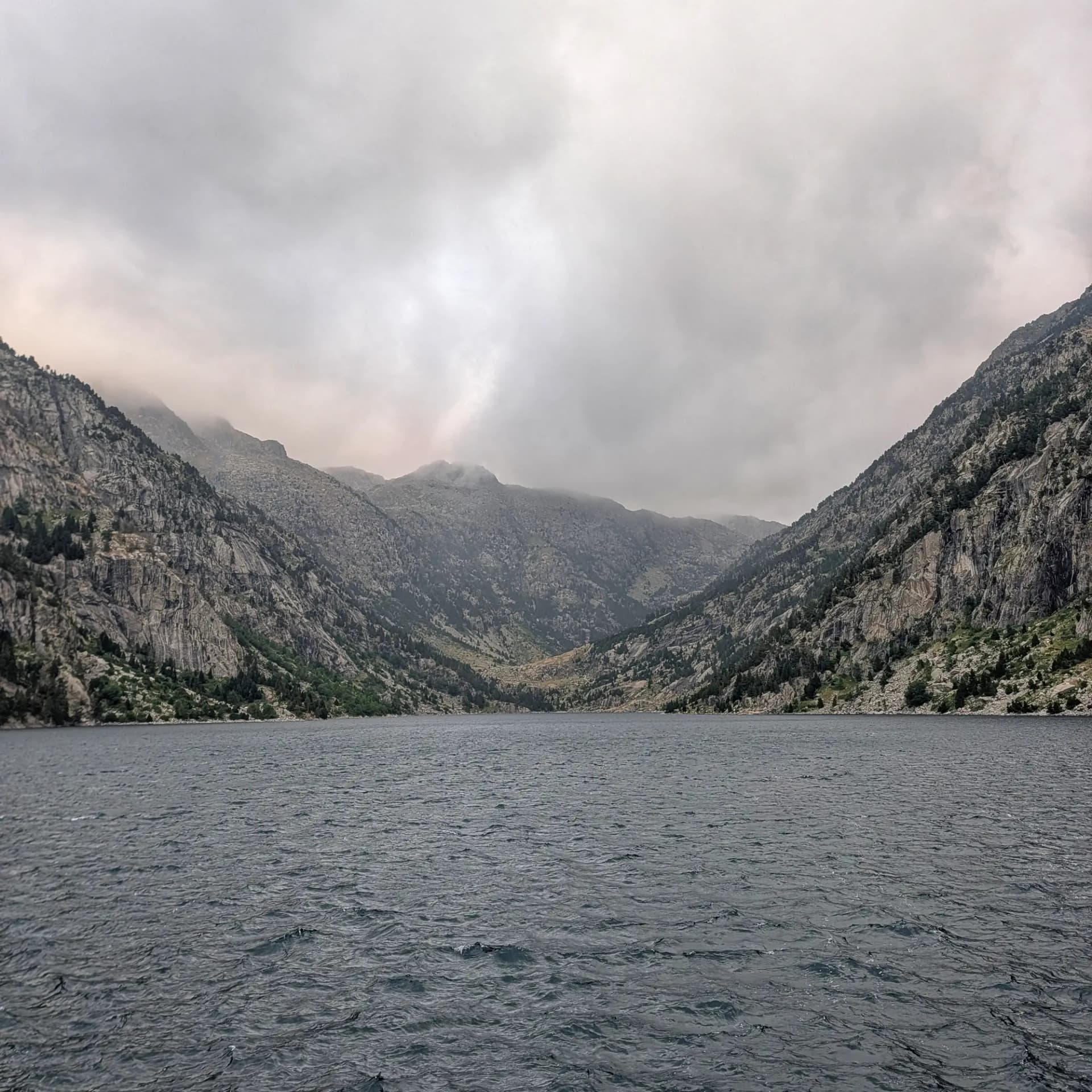
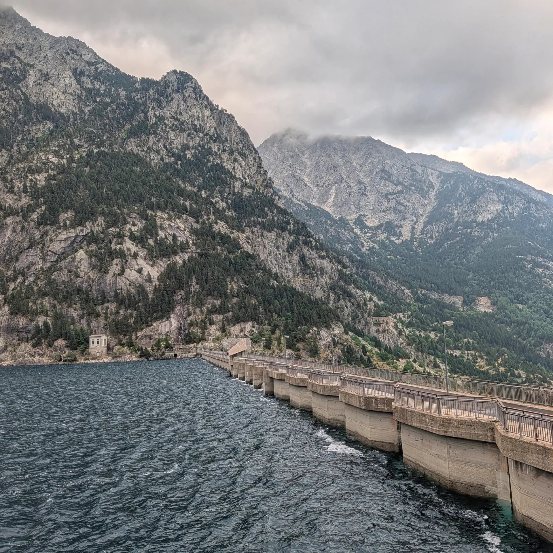
On July 26, 2026, the Club Excursionista de Sant Vicenç undertook a demanding 22.8 km route that led to the summits of Pic de Comaloforno and Besiberri Sud. The day began early from the parking area of the Cavallers Dam, under a cloudy sky.
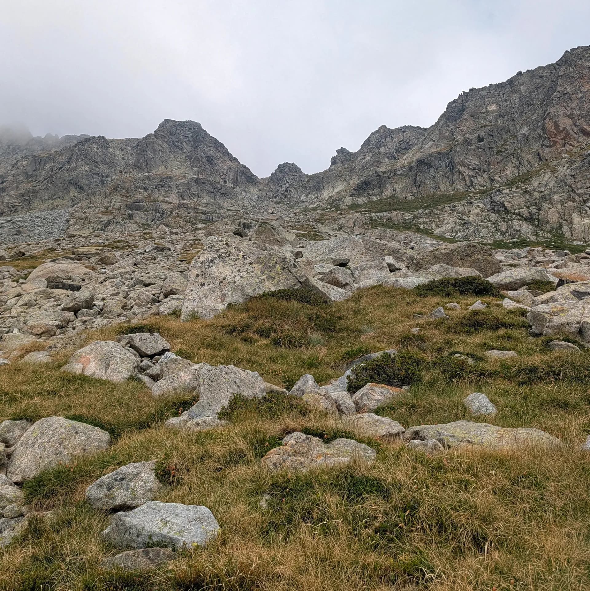
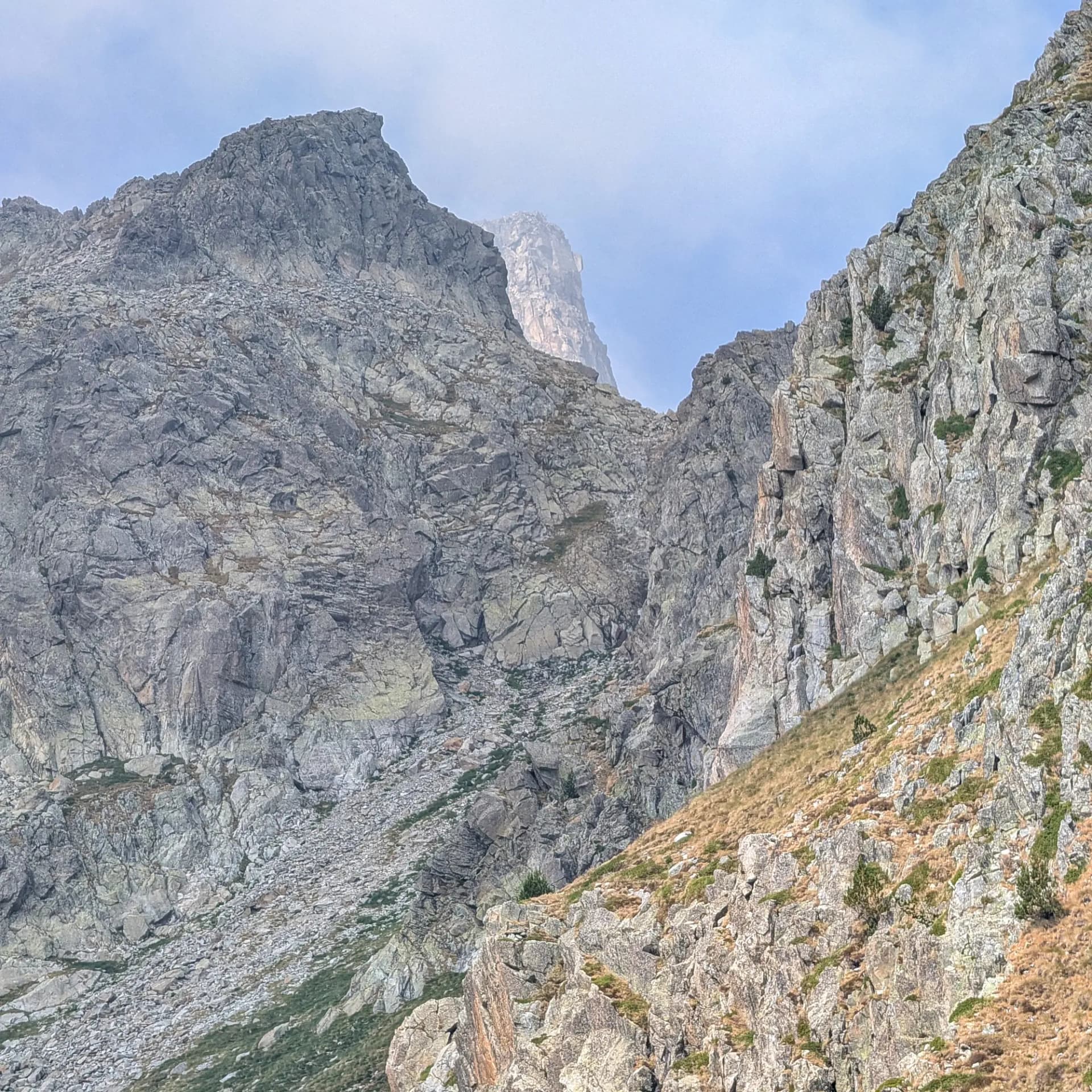
After crossing the dam, the ascent started through a forested area featuring some interesting rock steps. As elevation was gained, the terrain progressively became rockier, with a multitude of granite blocks that increased in size when approaching the Pas de l'Ós. Beyond this section, the route led to the Malavesina region, where the Comaloforno and Besiberri ridges became visible. Here, hikers navigated by avoiding and scrambling over gigantic granite blocks, some of which contained notable tourmaline crystals.
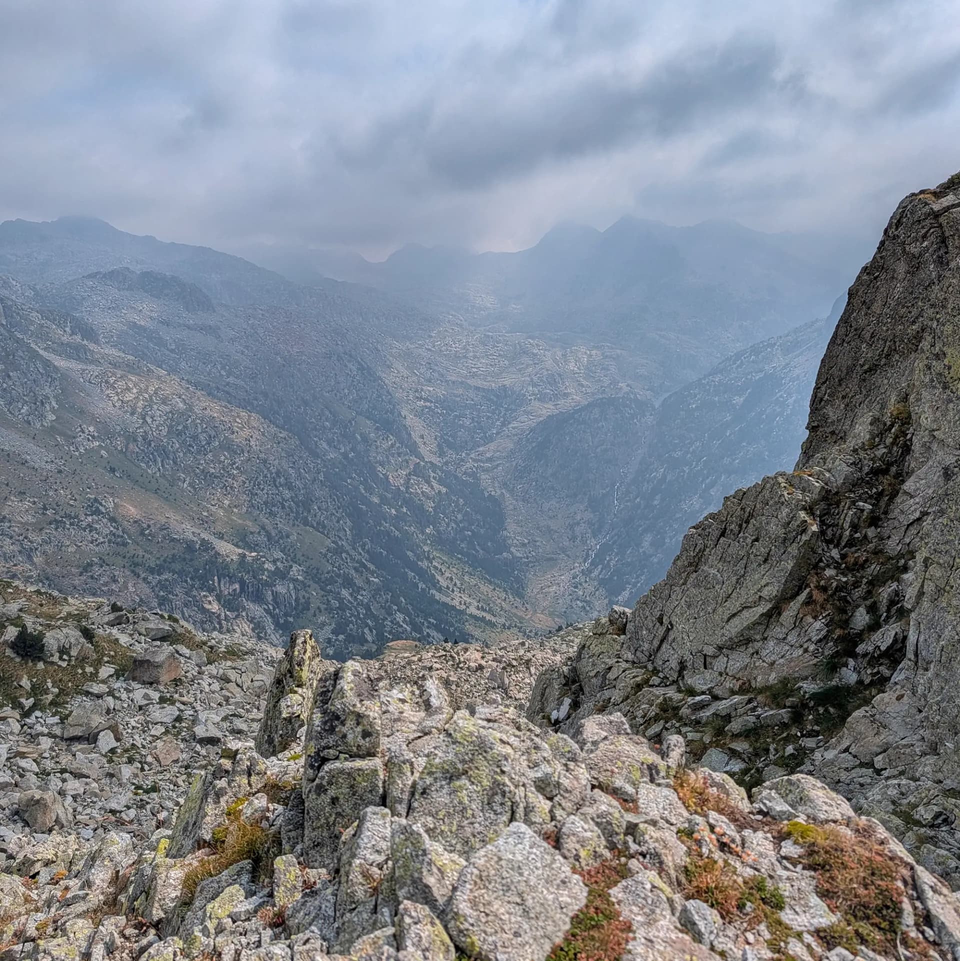
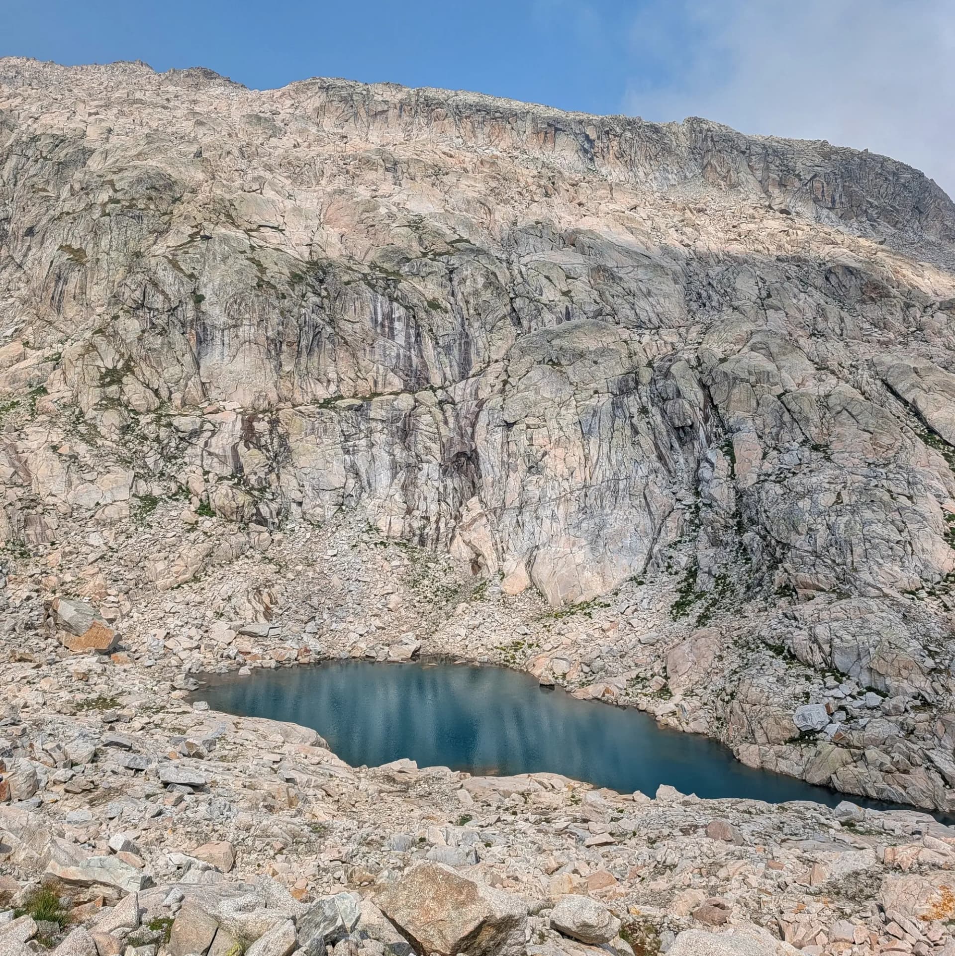
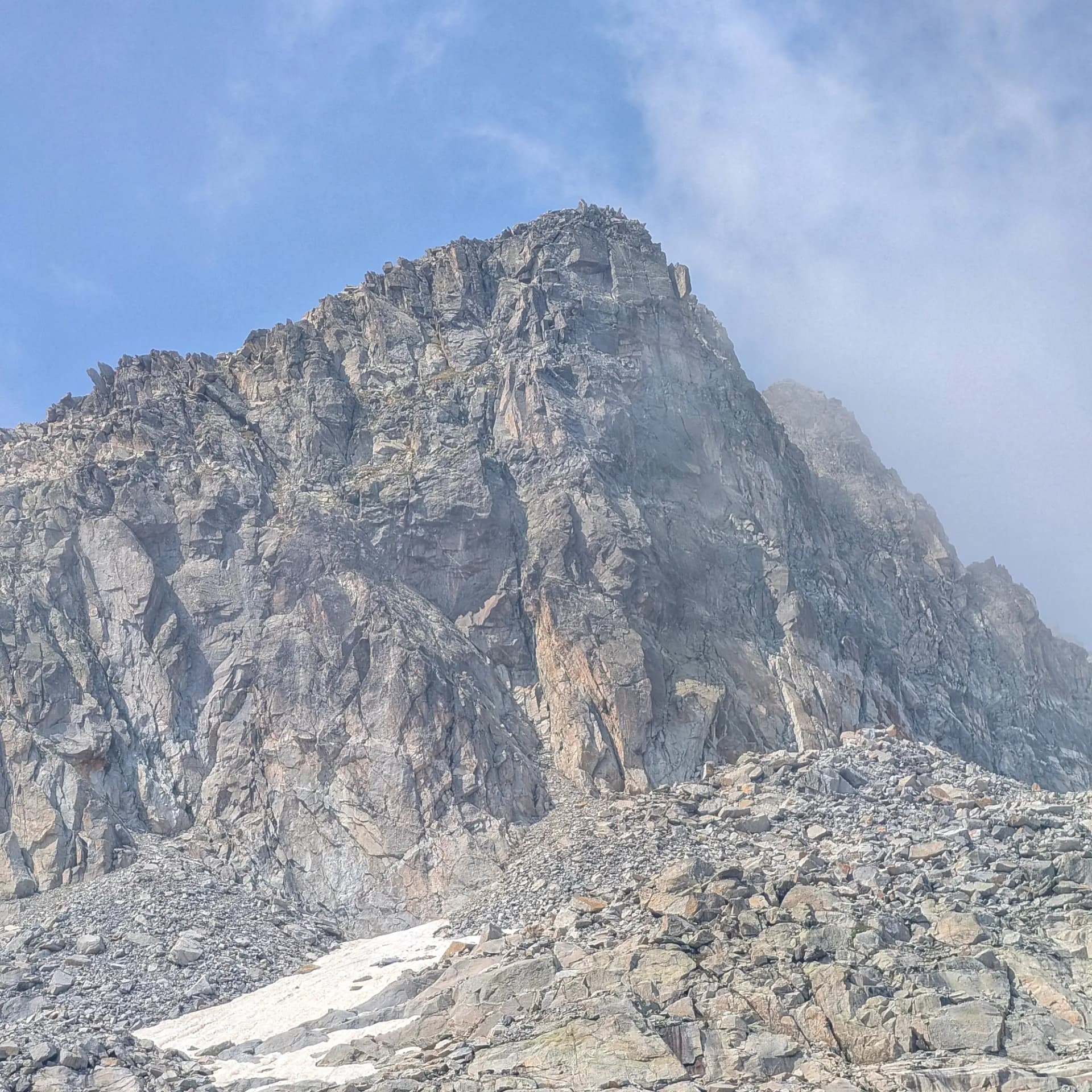
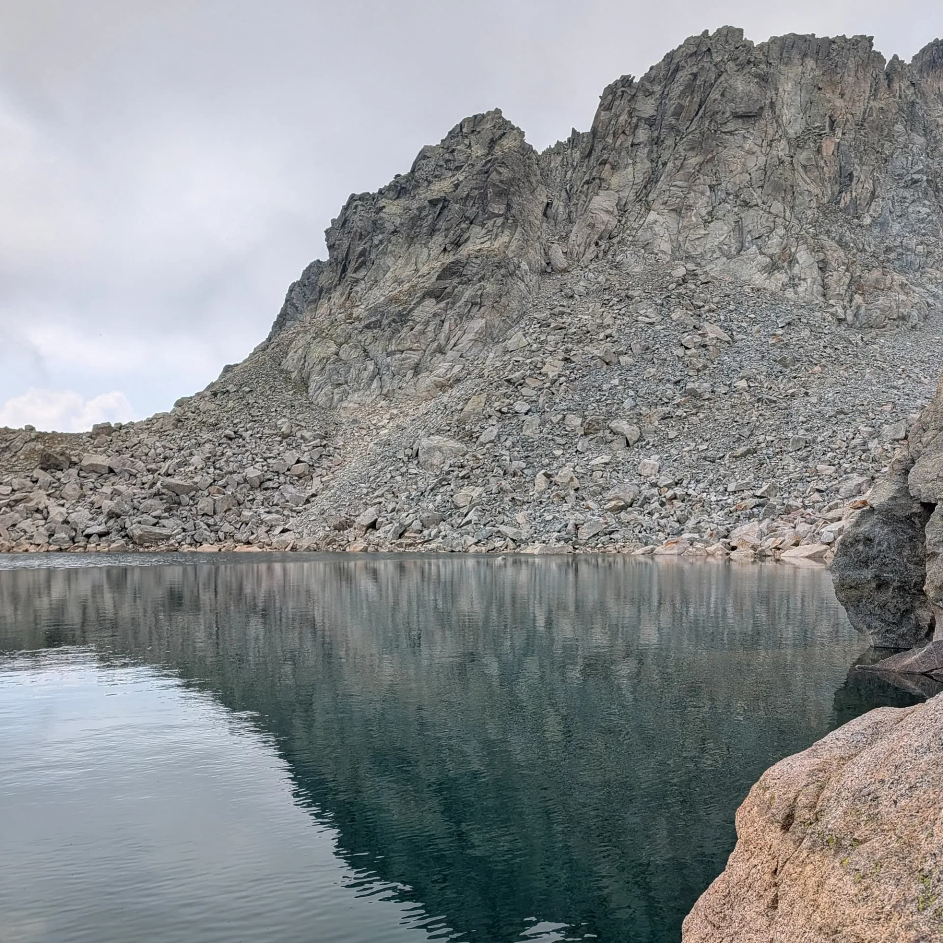
Upon reaching the Estany Gelat de Comaloforno (approximately 2686 m), the approach to the summits commenced with a climb up a scree slope with quite unstable terrain. A pass located between Pic de Comaloforno and Agulla de Malavesina (a peak recently classified as a 3000m summit in the Pyrenees) was traversed, where the terrain significantly improved. From this point, the ascent to the left began to tackle Pic de Comaloforno, involving scrambling without airy sections until the summit was reached. Retracing part of the path, the route then turned right for the ascent to Besiberri Sud.
Once both summits were achieved, the descent began by following the path back towards Coll d'Abellers. This section of the route offered simpler terrain but was a long descent, passing by the Estanys Gelats, Estany Gémena de Dalt, and finally, Estany Gémena de Baix, with its two distinctive islands. The trek continued along the Barranc de la Sallent, concluding slightly above Caldes de Boí as darkness fell. From this point, we had to cover approximately 4 km by road, using headlamps, to retrieve their vehicle. The day, with a total duration of 14 and a half hours (11 hours of moving time), was notable for the challenging terrain encountered during the ascent.
Map
Gallery
Related Summits
Discover the summits I've reached during this trail.
Related orchids observations
Discover the orchids I've made during this trail.